Redland Green, Bristol
Map

Map

Facts and practical information
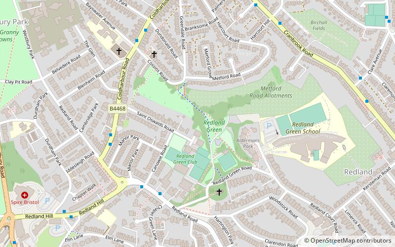
Redland Green is a park in the Bristol suburb of Redland. The park consists of a grassland area and an area of scrub and woodland managed as wildlife habitats by Bristol City Council in partnership with local community groups. A major event each year is Redland May Fair, organised by Redland and Cotham Amenities Society, which has been held annually for over 25 years on the first Monday in May and is opened each year by the Bristol street band The Ambling Band. ()
Elevation: 259 ft a.s.l.Coordinates: 51°28'27"N, 2°36'26"W
Address
RedlandBristol
ContactAdd
Social media
Add
Day trips
Redland Green – popular in the area (distance from the attraction)
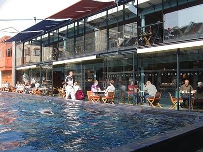
Nearby attractions include: Lido, Gloucester Road, Bristol Zoo, Clifton Down.
Frequently Asked Questions (FAQ)
Which popular attractions are close to Redland Green?
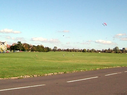
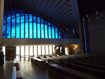
Nearby attractions include Redland Chapel, Bristol (4 min walk), Rainmaker Gallery, Bristol (8 min walk), Redland, Bristol (8 min walk), Durdham Down, Bristol (12 min walk).
How to get to Redland Green by public transport?
The nearest stations to Redland Green:
Bus
Train
Bus
- Chapel Green Lane • Lines: 8, 9 (4 min walk)
- Grove Road • Lines: 8, 9 (8 min walk)
Train
- Redland (14 min walk)
- Clifton Down (18 min walk)


