Moreton Road, Oxford
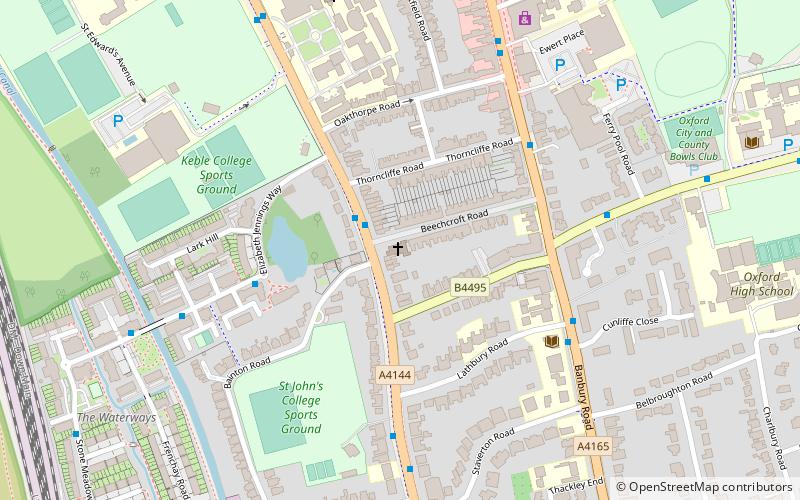
Map
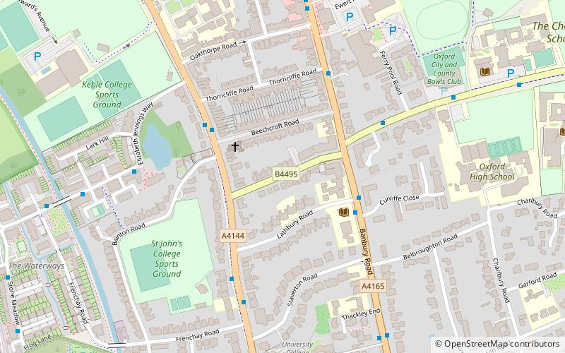
Map

Facts and practical information
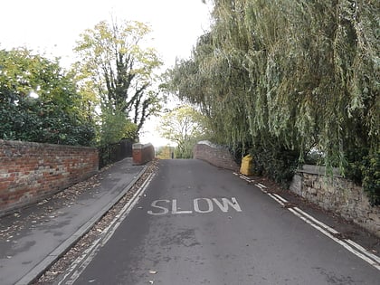
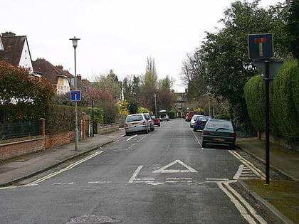
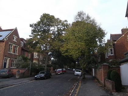
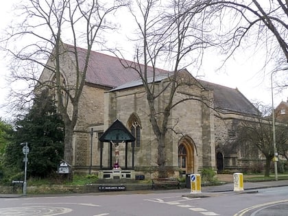
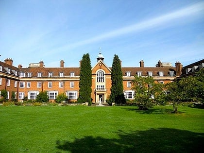
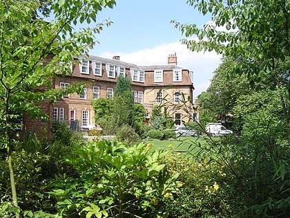
Moreton Road is a residential road in the Oxford suburb of North Oxford, Oxfordshire, United Kingdom. ()
Coordinates: 51°46'24"N, 1°15'56"W
Address
St. Margaret'sOxford
ContactAdd
Social media
Add
Day trips
Moreton Road – popular in the area (distance from the attraction)
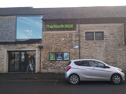
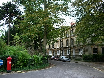
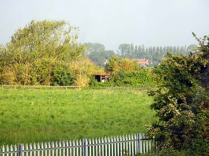
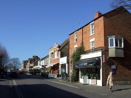
Nearby attractions include: North Wall Arts Centre, Park Town, Hook Meadow and The Trap Grounds, South Parade.
Frequently Asked Questions (FAQ)
Which popular attractions are close to Moreton Road?
Nearby attractions include Lathbury Road, Oxford (2 min walk), Woodstock Road Baptist Church, Oxford (2 min walk), Staverton Road, Oxford (4 min walk), Belbroughton Road, Oxford (6 min walk).
How to get to Moreton Road by public transport?
The nearest stations to Moreton Road:
Bus
Bus
- Ferry Pool Road • Lines: 14A (4 min walk)
- Cherwell School • Lines: 14A (8 min walk)

