Victoria Arms, Oxford

Gallery (1)
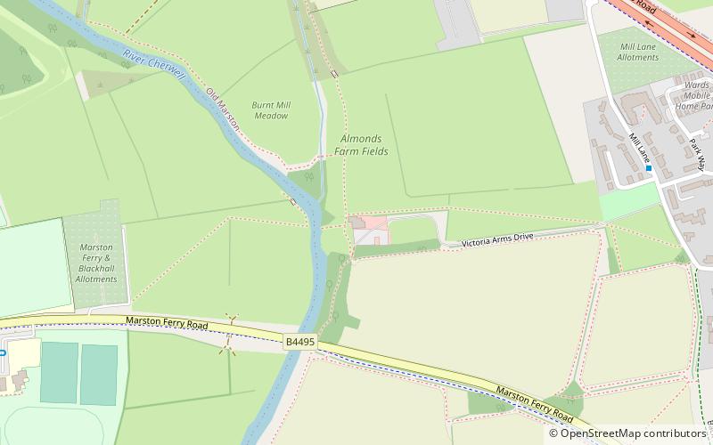
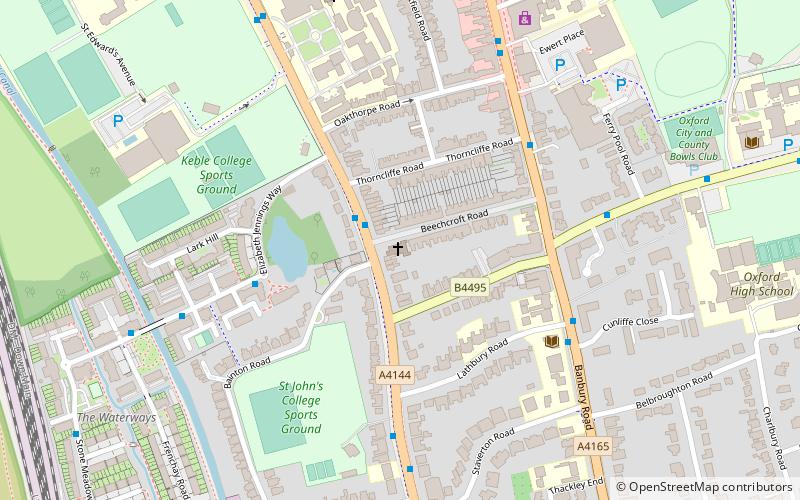
Map
Map
Facts and practical information
The Victoria Arms is a pub on the eastern bank of the River Cherwell at the end of Mill Lane close to Old Marston, northeast of Oxford, England. ()
Coordinates: 51°46'37"N, 1°14'51"W
Address
MarstonOxford
Contact
+44 1865 241382
Social media
Add
Getting there by public transportation
Public transportation stops near this location
- Bus
 Bus
Bus
- Calculate routePost Office 12 min walk
- Calculate routeSt Nicholas Church 12 min walk
Day trips


Frequently Asked Questions (FAQ)
Which popular attractions are close to Victoria Arms?
Nearby attractions include Garford Road, Oxford (15 min walk), Chadlington Road, Oxford (16 min walk), Charlbury Road, Oxford (17 min walk), Belbroughton Road, Oxford (17 min walk).
How to get to Victoria Arms by public transport?
The nearest stations to Victoria Arms:
Bus
Bus
- Post Office • Lines: 14A (12 min walk)
- St Nicholas Church • Lines: 14A (12 min walk)