Mayford Meadows, Woking

Gallery (1)
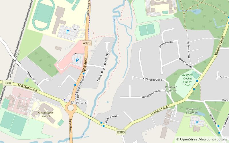
Map
Map
Facts and practical information
Mayford Meadows is a 4.9-hectare Local Nature Reserve on the southern outskirts of Woking in Surrey. It is owned and managed by Woking Borough Council. ()
Elevation: 95 ft a.s.l.Coordinates: 51°17'49"N, 0°34'12"W
Address
Woking
ContactAdd
Social media
Add
Getting there by public transportation
Public transportation stops near this location
- Bus
- Train
 Bus
Bus
- Calculate routeThe Bird in Hand 4 min walk
- Calculate routeMayford Arms 5 min walk
- Calculate routeCricket Pitch 7 min walk
- Calculate routeWorplesdon 22 min walk
Day trips


Frequently Asked Questions (FAQ)
How to get to Mayford Meadows by public transport?
The nearest stations to Mayford Meadows:
Bus
Train
Bus
- The Bird in Hand • Lines: 33, 35, 520 (4 min walk)
- Mayford Arms • Lines: 35 (5 min walk)
Train
- Worplesdon (22 min walk)