Shotover, Oxford
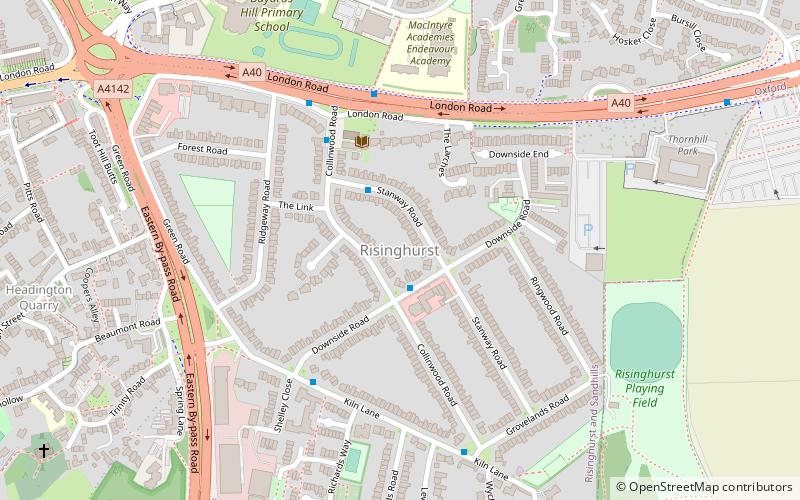
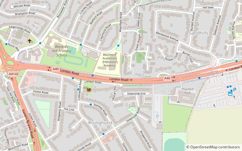
Map
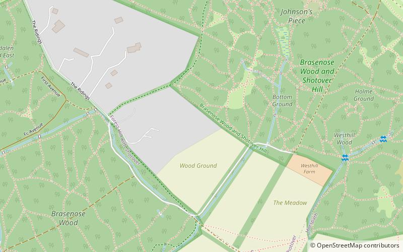
Map

Facts and practical information
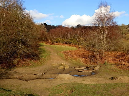
Shotover is a hill and forest in Oxfordshire, England. The hill is 3 miles east of Oxford. Its highest point is 557 feet above sea level. ()
Elevation: 394 ft a.s.l.Coordinates: 51°44'48"N, 1°11'5"W
Address
Oxford
ContactAdd
Social media
Add
Day trips
Shotover – popular in the area (distance from the attraction)
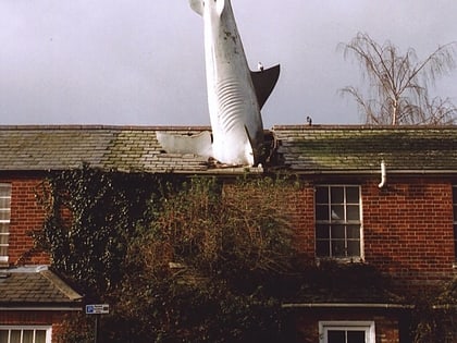
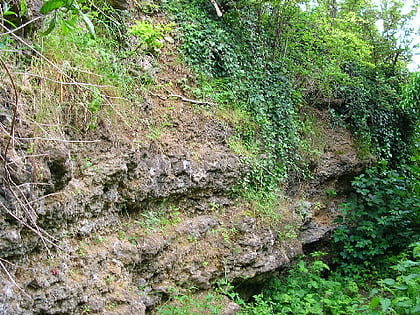
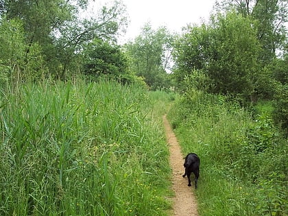
Nearby attractions include: Headington Shark, Rock Edge, Lye Valley, Between Towns Road.
Frequently Asked Questions (FAQ)
Which popular attractions are close to Shotover?
Nearby attractions include CS Lewis Nature Reserve, Oxford (18 min walk), Wood Farm, Oxford (19 min walk), The Kilns, Oxford (19 min walk).
How to get to Shotover by public transport?
The nearest stations to Shotover:
Bus
Bus
- Foresters Tower • Lines: 10 (19 min walk)
- Corner House • Lines: 10 (20 min walk)
