Risinghurst, Oxford
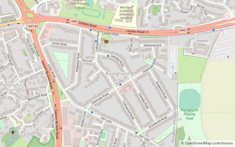
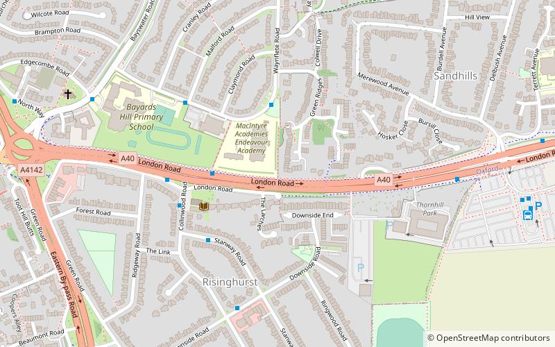
Map
Facts and practical information
Risinghurst is an outlying residential area of Oxford, England, just outside the Eastern Bypass Road which forms part of the Oxford ring road. It is about 1 mile east of the centre of Headington and 3 miles east of Oxford city centre. It is part of the Risinghurst and Sandhills civil parish and is typical of housing estates built between the wars to house an increasingly prosperous working class who were moving into new urban centres—in this instance to take advantage of the burgeoning motor industry in Oxford. ()
Coordinates: 51°45'38"N, 1°11'25"W
Address
Quarry and RisinghurstOxford
ContactAdd
Social media
Add
Getting there by public transportation
Public transportation stops near this location
- Bus
 Bus
Bus
- Calculate routeThornhill Park and Ride 11 min walk
- Calculate routeGreen Rd Roundabout 11 min walk
Day trips


Frequently Asked Questions (FAQ)
Which popular attractions are close to Risinghurst?
Nearby attractions include Risinghurst and Sandhills, Oxford (4 min walk), The Kilns, Oxford (7 min walk), CS Lewis Nature Reserve, Oxford (8 min walk), Holy Trinity Church, Oxford (12 min walk).
How to get to Risinghurst by public transport?
The nearest stations to Risinghurst:
Bus
Bus
- Thornhill Park and Ride • Lines: 280, Lgw, Lhr, Tube (11 min walk)
- Green Rd Roundabout • Lines: Tube (11 min walk)