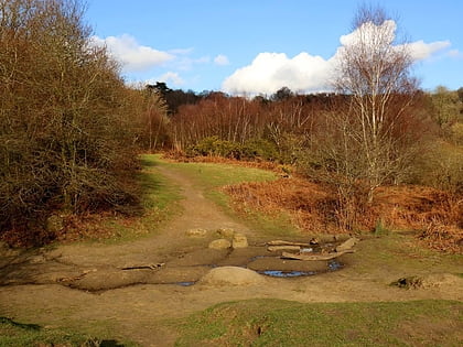
Wood Farm, Oxford
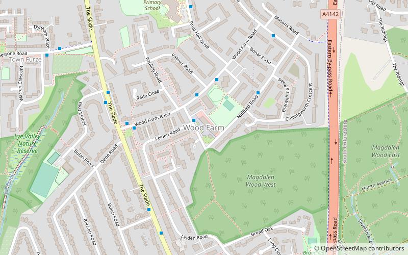
Map
Map

Facts and practical information
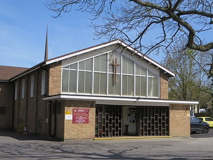
Wood Farm is a residential district of Oxford, England, south of Headington in the southeast of the city. It largely consists of social housing built in the 1950s and 1960s, originally intended to house workers from the nearby car factory. The Eastern By-Pass is to the east, Cowley is to the southwest and Headington Quarry is to the north. ()
Coordinates: 51°44'57"N, 1°12'3"W
Address
ChurchillOxford
ContactAdd
Social media
Add
Day trips
Wood Farm – popular in the area (distance from the attraction)
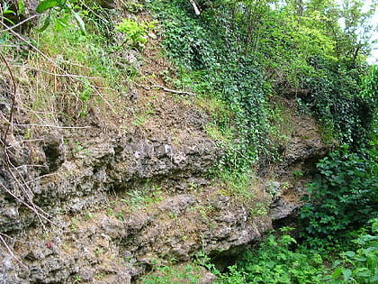
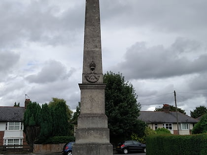
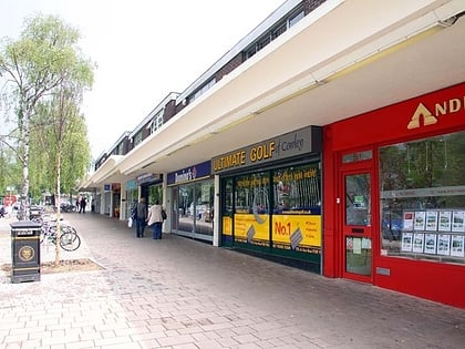
Nearby attractions include: Templars Square, Sandfield Road, Headington Shark, Rock Edge.
Frequently Asked Questions (FAQ)
Which popular attractions are close to Wood Farm?
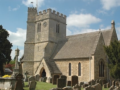
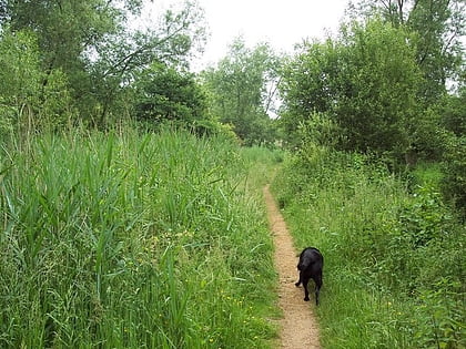
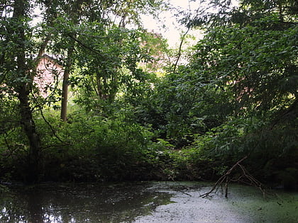
Nearby attractions include Lye Valley, Oxford (8 min walk), Rock Edge, Oxford (10 min walk), Holy Trinity Church, Oxford (16 min walk), CS Lewis Nature Reserve, Oxford (18 min walk).
How to get to Wood Farm by public transport?
The nearest stations to Wood Farm:
Bus
Bus
- Foresters Tower • Lines: 10 (3 min walk)
- Wood Farm Road • Lines: 10 (4 min walk)

