Robin Hood Cemetery, Birmingham
Map

Map

Facts and practical information
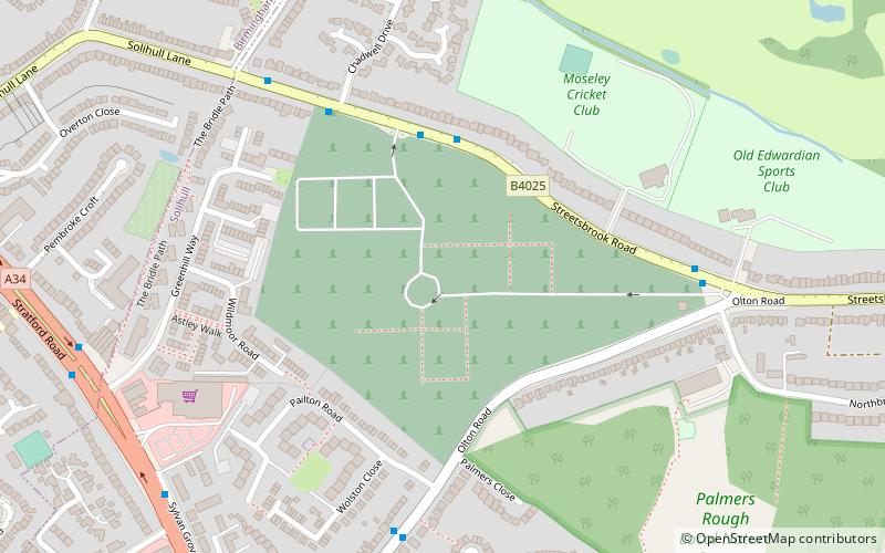
Robin Hood Cemetery and Crematorium is located near Shirley, West Midlands, within the Metropolitan Borough of Solihull, in the West Midlands. The cemetery was opened in 1917 and covers an area of 45 acres and comprises extensive landscaped lawn graves interspersed with ancient woodland. A cemetery chapel was built in 1931, and the crematorium was built in 1958, including for modifications to the chapel to cater for the cremation facilities. ()
Established: 1917 (109 years ago)Coordinates: 52°25'15"N, 1°49'34"W
Address
Streetsbrook RoadBirmingham
ContactAdd
Social media
Add
Day trips
Robin Hood Cemetery – popular in the area (distance from the attraction)
Nearby attractions include: Sarehole Mill, Olton, St James the Great, Shire Country Park.
Frequently Asked Questions (FAQ)
Which popular attractions are close to Robin Hood Cemetery?
Nearby attractions include Palmers Rough, Solihull (8 min walk), Shirley Baptist Church, Solihull (13 min walk).
How to get to Robin Hood Cemetery by public transport?
The nearest stations to Robin Hood Cemetery:
Train
Bus
Train
- Hall Green (36 min walk)
Bus
- Warwick Road / Ulverley Green Rd • Lines: 4 (37 min walk)


