Olton Reservoir, Solihull
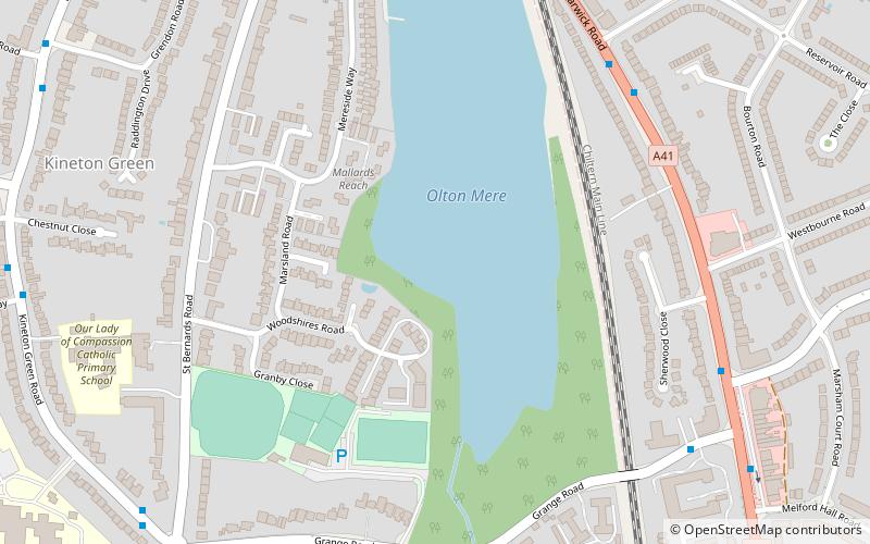
Map
Facts and practical information
Built: 1799 (227 years ago)Length: 2280 ftWidth: 656 ftAverage depth: 8 ftCoordinates: 52°25'53"N, 1°48'16"W
Address
Solihull
ContactAdd
Social media
Add
Getting there by public transportation
Public transportation stops near this location
- Bus
- Train
 Bus
Bus
- Calculate routeWarwick Road / Ulverley Green Rd 10 min walk
- Calculate routeLode Lane / Jaguar Land Rover 26 min walk
- Calculate routeOlton 13 min walk
- Calculate routeSolihull 34 min walk
Day trips


Frequently Asked Questions (FAQ)
Which popular attractions are close to Olton Reservoir?
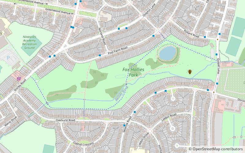
Nearby attractions include Olton, Solihull (12 min walk), Scheduled monuments in Birmingham, Birmingham (19 min walk), Fox Hollies, Birmingham (23 min walk).
How to get to Olton Reservoir by public transport?
The nearest stations to Olton Reservoir:
Bus
Train
Bus
- Warwick Road / Ulverley Green Rd • Lines: 4 (10 min walk)
- Lode Lane / Jaguar Land Rover • Lines: X2 (26 min walk)
Train
- Olton (13 min walk)
- Solihull (34 min walk)