Fox Hollies, Birmingham

Map
Facts and practical information
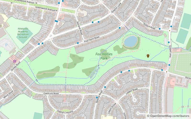
Fox Hollies is an area of Birmingham, England, situated on the edge of Acocks Green district. It is named after the Fox Hollies Hall estate. ()
Elevation: 407 ft a.s.l.Coordinates: 52°26'14"N, 1°49'22"W
Address
Acocks GreenBirmingham
ContactAdd
Social media
Add
Day trips
Fox Hollies – popular in the area (distance from the attraction)
Nearby attractions include: Tyseley TMD, Olton, St Peter's Church, Acocks Green.
Frequently Asked Questions (FAQ)
Which popular attractions are close to Fox Hollies?
Nearby attractions include Scheduled monuments in Birmingham, Birmingham (6 min walk), St. Mary the Virgin Church, Birmingham (18 min walk), Olton, Solihull (19 min walk), Acocks Green, Birmingham (19 min walk).
How to get to Fox Hollies by public transport?
The nearest stations to Fox Hollies:
Train
Bus
Train
- Spring Road (19 min walk)
- Olton (20 min walk)
Bus
- Warwick Road / Ulverley Green Rd • Lines: 4 (20 min walk)


