Beech Bottom Dyke, St Albans
Map

Gallery

Facts and practical information
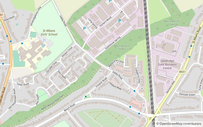
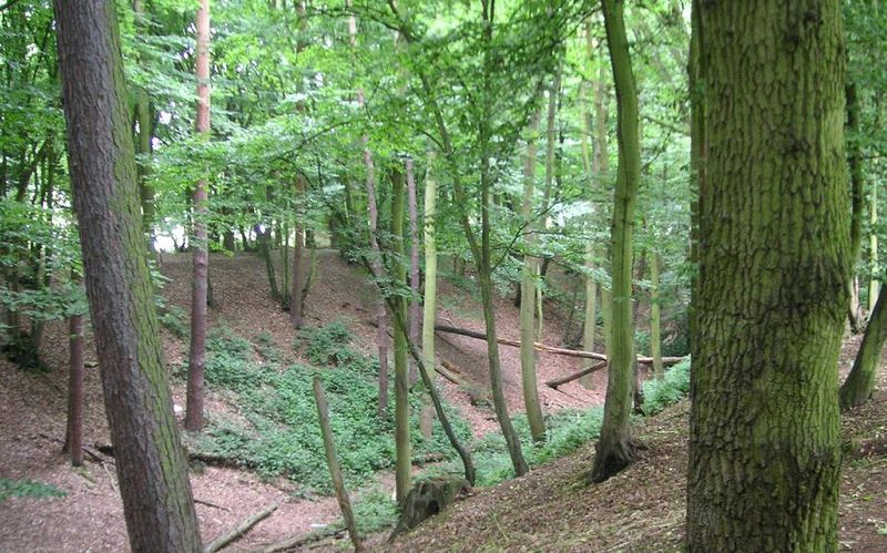
Beech Bottom Dyke, is a large ditch running for almost a mile at the northern edge of St Albans, Hertfordshire flanked by banks on both sides. It is up to 30 m wide, and 10 m deep, and it can be followed for three quarters of a mile between the "Ancient Briton Crossroads" on the St Albans to Harpenden road until it is crossed by the Thameslink/Midland mainline railway at Sandridge. Beyond the railway embankment it continues, to finish just short of the St Albans to Sandridge road. This part is not accessible to the public. ()
Coordinates: 51°46'9"N, 0°19'35"W
Address
St Albans
ContactAdd
Social media
Add
Day trips
Beech Bottom Dyke – popular in the area (distance from the attraction)
Nearby attractions include: The Boot, Batchwood Hall, St Albans Museums, Clock Tower.
Frequently Asked Questions (FAQ)
Which popular attractions are close to Beech Bottom Dyke?
Nearby attractions include Bernards Heath, St Albans (13 min walk), The Wick Local Nature Reserve, St Albans (22 min walk).
How to get to Beech Bottom Dyke by public transport?
The nearest stations to Beech Bottom Dyke:
Bus
Bus
- St Albans Girls School • Lines: 84 (9 min walk)
- New Greens Avenue • Lines: 84 (10 min walk)


