Rivelin Dams, Sheffield

Gallery (4)
Map

Map
Gallery
Facts and practical information
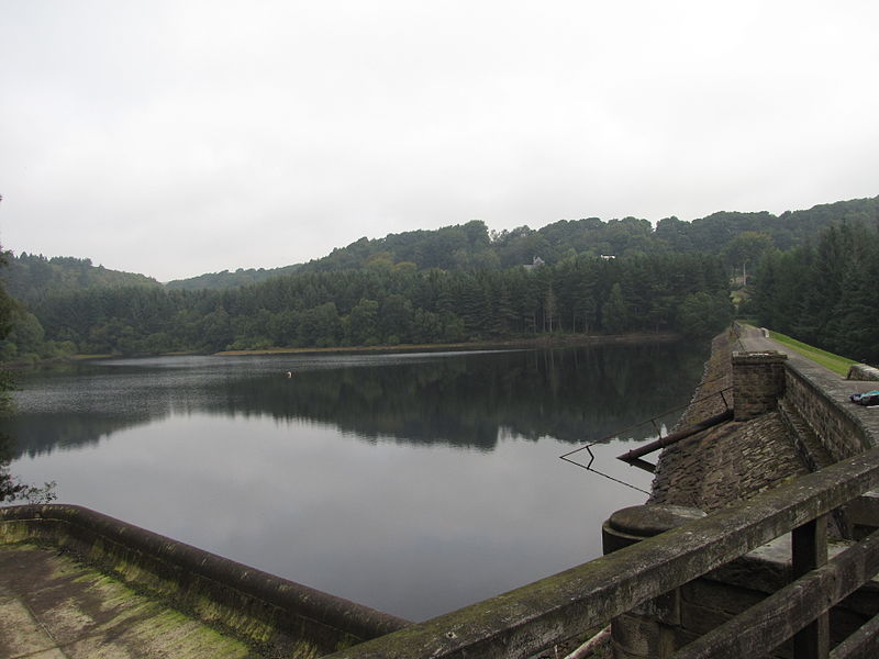
Rivelin Dams are a pair of water storage reservoirs situated in the upper part of the Rivelin Valley, 5 miles west of Sheffield in South Yorkshire, England. The dams are owned by Yorkshire Water and provide water to 319,000 people as well as compensation water for the River Rivelin. They are named Upper and Lower and fall just within the eastern boundary of the Peak District. ()
Coordinates: 53°22'40"N, 1°35'37"W
Address
Sheffield
ContactAdd
Social media
Add
Getting there by public transportation
Public transportation stops near this location
- Bus
 Bus
Bus
- Calculate routeManchester Road/The New Norfolk 5 min walk
- Calculate routeLodge Moor Terminus 25 min walk
Day trips


Frequently Asked Questions (FAQ)
How to get to Rivelin Dams by public transport?
The nearest stations to Rivelin Dams:
Bus
Bus
- Manchester Road/The New Norfolk • Lines: 257 (5 min walk)
- Lodge Moor Terminus • Lines: 51 (25 min walk)