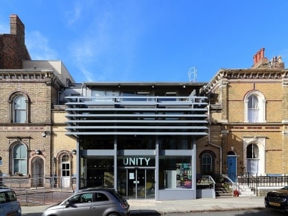
Falkner Square, Liverpool
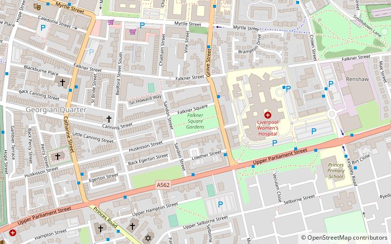
Map
Gallery
Facts and practical information
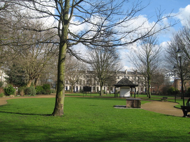
Falkner Square is a square in Canning on the border of Liverpool city centre and Toxteth. Falkner Square Gardens occupy the centre of the square. The Square was completed in 1830 and in 1835 the central area was acquired as a park, one of the first areas so acquired by the council. ()
Elevation: 171 ft a.s.l.Coordinates: 53°23'54"N, 2°57'47"W
Address
Falkner SqPrinces ParkLiverpool
ContactAdd
Social media
Add
Day trips
Falkner Square – popular in the area (distance from the attraction)
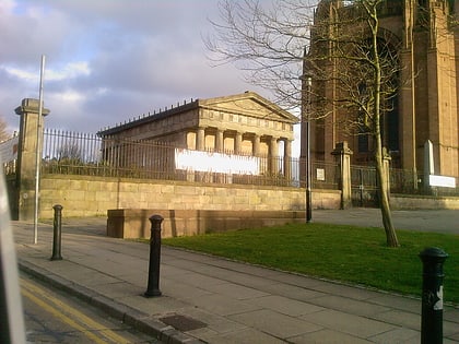
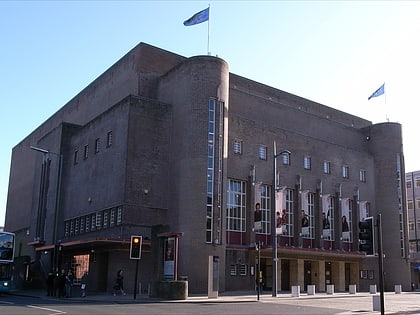
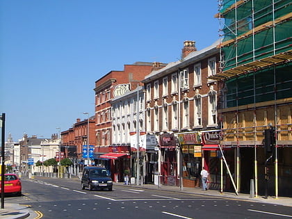
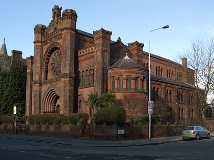
Nearby attractions include: Liverpool Cathedral, The Oratory, Philharmonic Hall, Hardman Street.
Frequently Asked Questions (FAQ)
Which popular attractions are close to Falkner Square?
Nearby attractions include Black Merchant Seamen War Memorial, Liverpool (3 min walk), Falkner Street, Liverpool (3 min walk), German Church, Liverpool (4 min walk), Church of St Margaret of Antioch, Liverpool (6 min walk).
How to get to Falkner Square by public transport?
The nearest stations to Falkner Square:
Train
Bus
Train
- Edge Hill (19 min walk)
- Liverpool Central (21 min walk)
Bus
- Pembroke Place Stop P • Lines: 18 (20 min walk)
- London Road/stand E • Lines: 18 (22 min walk)


