Weston, Southampton
Map

Map

Facts and practical information
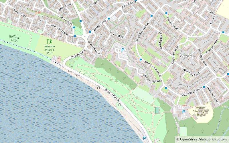
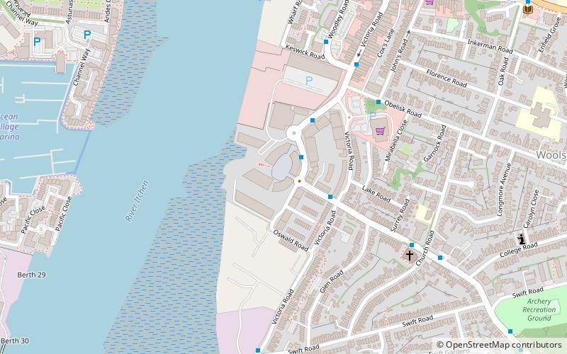
Weston is a small suburb on the south-eastern side of Southampton, UK, predominantly built on the Weston Grove Estate formerly owned by the Chamberlayne family. It also includes the area that was previously the Barnfield Estate. Weston includes part of Mayfield Park, which was previously the Mayfield Estate. Weston is bounded by Woolston, Sholing, Netley and Southampton Water. ()
Coordinates: 50°53'10"N, 1°22'12"W
Address
Southampton Itchen (Woolston)Southampton
ContactAdd
Social media
Add
Day trips
Weston – popular in the area (distance from the attraction)
Nearby attractions include: Ocean Village, Netley Castle, Itchen Bridge, Solent Sky.
Frequently Asked Questions (FAQ)
Which popular attractions are close to Weston?
Nearby attractions include Mayfield Park, Southampton (12 min walk), Woolston, Southampton (15 min walk), Netley Castle, Southampton (19 min walk), Centenary Quay, Southampton (21 min walk).
How to get to Weston by public transport?
The nearest stations to Weston:
Train
Train
- Sholing (20 min walk)
- Woolston (24 min walk)


