Forbury Gardens, Reading
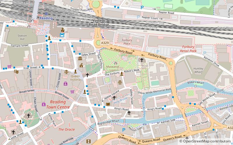
Map

Map

Facts and practical information
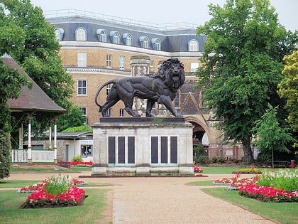
Forbury Gardens is a public park in the town of Reading in the English county of Berkshire. The park is on the site of the outer court of Reading Abbey, which was in front of the Abbey Church. The site was formerly known as the Forbury, and one of the roads flanking the current gardens is still known as The Forbury. Fairs were held on the site three times a year until the 19th century. ()
Elevation: 157 ft a.s.l.Coordinates: 51°27'23"N, 0°58'2"W
Day trips
Forbury Gardens – popular in the area (distance from the attraction)
Nearby attractions include: Broad Street, Queen Victoria Street, The Oracle, Union Street.
Frequently Asked Questions (FAQ)
Which popular attractions are close to Forbury Gardens?
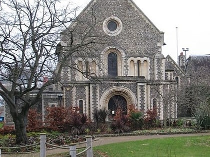
Nearby attractions include Maiwand Lion, Reading (1 min walk), Abbey Mill, Reading (3 min walk), St James's Church, Reading (3 min walk), St Laurence's Church, Reading (3 min walk).
How to get to Forbury Gardens by public transport?
The nearest stations to Forbury Gardens:
Bus
Train
Bus
- Market Place MA • Lines: 19a, 19b, 19c, 22, 9 (3 min walk)
- Market Place MB • Lines: 6 (3 min walk)
Train
- Reading (8 min walk)
- Reading West (27 min walk)


