Broad Street, Reading
Map
Gallery
Facts and practical information
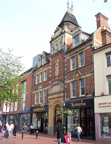
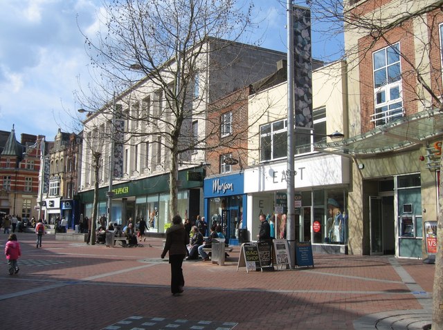
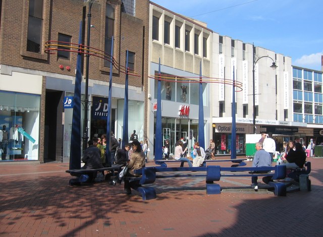
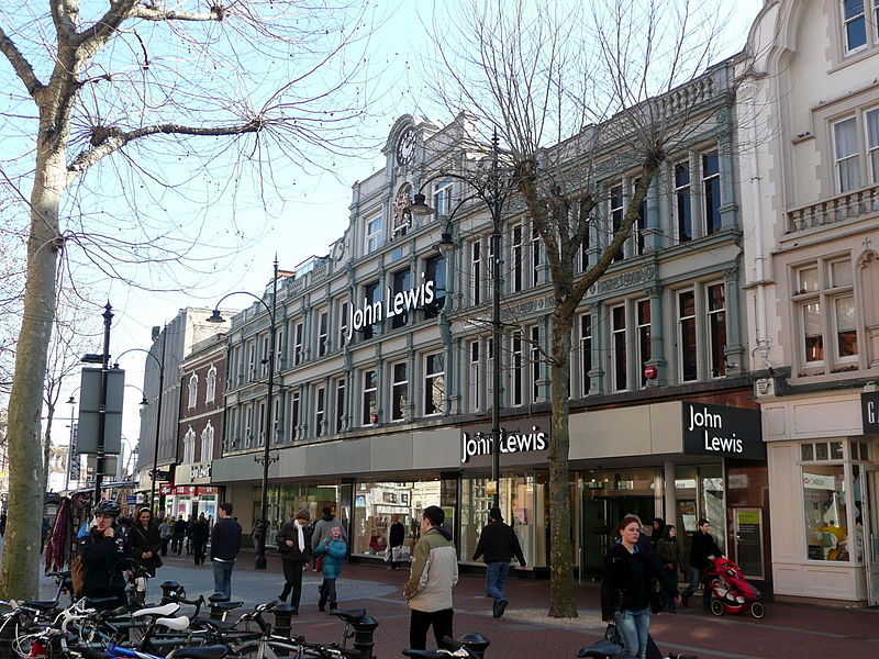
Broad Street is a main pedestrianised thoroughfare and the primary high street in the English town of Reading. The street is situated in the town centre, running for approximately 0.25 miles, from west to east. The western end of the road lies at the crossroads with Oxford Road, West Street and St Mary's Butts. The eastern end continues as King Street after the junction with Minster Street and Butter Market. ()
Length: 1320 ftCoordinates: 51°27'20"N, 0°58'26"W
Address
AbbeyReading
ContactAdd
Social media
Add
Day trips
Broad Street – popular in the area (distance from the attraction)
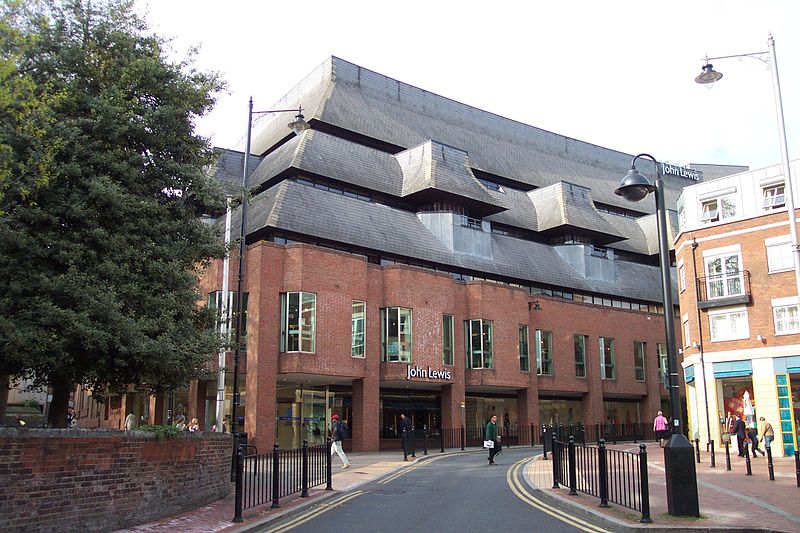
Nearby attractions include: Queen Victoria Street, The Oracle, Union Street, Broad Street Mall.
Frequently Asked Questions (FAQ)
Which popular attractions are close to Broad Street?
Nearby attractions include Waterstones, Reading (1 min walk), Reading Nunnery, Reading (2 min walk), Reading Minster, Reading (2 min walk), St Mary's Church, Reading (4 min walk).
How to get to Broad Street by public transport?
The nearest stations to Broad Street:
Bus
Train
Bus
- St Mary's Butts • Lines: 17, 19a, 19b, 19c, 4 (3 min walk)
- Friar Street • Lines: 19a, 19b, 19c, 22 (3 min walk)
Train
- Reading (7 min walk)
- Reading West (19 min walk)


