John Lewis, Reading
Map

Gallery

Facts and practical information
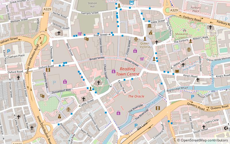
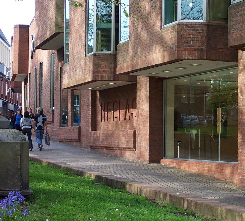
Heelas is a major department store in Reading in the English county of Berkshire. It was known as Heelas until 2001 and that name is still in common usage. The store fronts on to Reading's main pedestrianised shopping street, Broad Street, and backs onto Minster Street and The Oracle shopping centre. The store has belonged to the John Lewis Partnership since 1953. ()
Coordinates: 51°27'18"N, 0°58'21"W
Day trips
John Lewis – popular in the area (distance from the attraction)
Nearby attractions include: Broad Street, Queen Victoria Street, The Oracle, Union Street.
Frequently Asked Questions (FAQ)
Which popular attractions are close to John Lewis?
Nearby attractions include Reading Minster, Reading (2 min walk), Reading Nunnery, Reading (2 min walk), Waterstones, Reading (2 min walk), St Mary's Church, Reading (4 min walk).
How to get to John Lewis by public transport?
The nearest stations to John Lewis:
Bus
Train
Bus
- Minister Street MP • Lines: 1, 19a (1 min walk)
- Minster Street • Lines: 17, 19a, 19b, 19c (2 min walk)
Train
- Reading (8 min walk)
- Reading West (21 min walk)


