St Mary's Butts, Reading
Map

Map

Facts and practical information
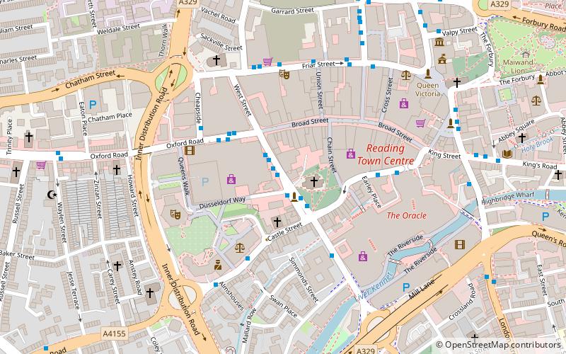
St Mary's Butts is a thoroughfare in the English town of Reading, Berkshire. On its west side is the Broad Street Mall. It is connected to the north with Broad Street, the pedestrianised primary high street of Reading. St Mary's Church and Butts are where the town of Reading originally grew from. ()
Coordinates: 51°27'17"N, 0°58'28"W
Address
AbbeyReading
ContactAdd
Social media
Add
Day trips
St Mary's Butts – popular in the area (distance from the attraction)
Nearby attractions include: Broad Street, Queen Victoria Street, The Oracle, Union Street.
Frequently Asked Questions (FAQ)
Which popular attractions are close to St Mary's Butts?
Nearby attractions include Reading Nunnery, Reading (1 min walk), Reading Minster, Reading (2 min walk), St Mary's Church, Reading (2 min walk), Waterstones, Reading (2 min walk).
How to get to St Mary's Butts by public transport?
The nearest stations to St Mary's Butts:
Bus
Train
Bus
- St Mary's Butts • Lines: 17, 19a, 19b, 19c, 4 (1 min walk)
- St Mary's Butts CA • Lines: 1, 2/2a (2 min walk)
Train
- Reading (9 min walk)
- Reading West (18 min walk)


