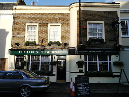
Cremorne Gardens, London
Map
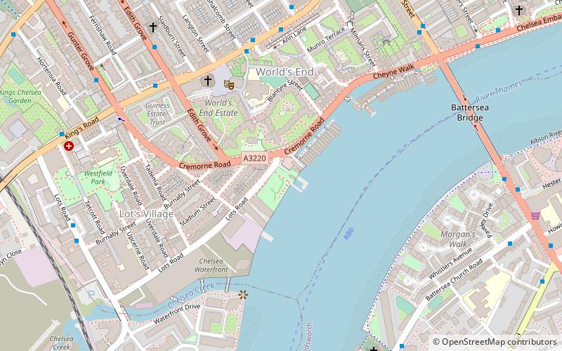
Map

Facts and practical information
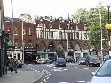
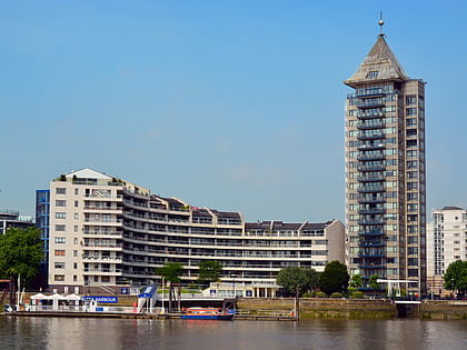
Cremorne Gardens were popular pleasure gardens by the side of the River Thames in Chelsea, London. They lay between Chelsea Harbour and the end of the King's Road and flourished between 1845 and 1877; today only a vestige survives, on the river at the southern end of Cheyne Walk. Cremorne is also a ward of the Royal Borough of Kensington and Chelsea. The population of the ward at the 2011 Census was 7,974. ()
Elevation: 30 ft a.s.l.Coordinates: 51°28'48"N, 0°10'42"W
Address
Kensington and Chelsea (Chelsea)London
ContactAdd
Social media
Add
Day trips
Cremorne Gardens – popular in the area (distance from the attraction)
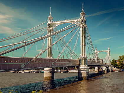
Nearby attractions include: King's Road, Chelsea Harbour, Brompton Cemetery, Albert Bridge.
Frequently Asked Questions (FAQ)
Which popular attractions are close to Cremorne Gardens?
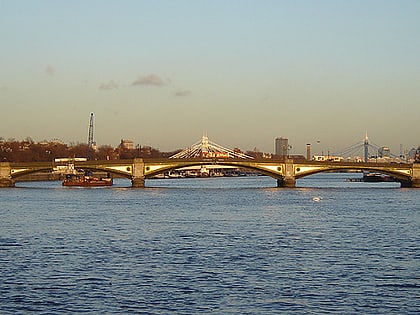
Nearby attractions include Moravian Burial Ground, London (7 min walk), Battersea Bridge, London (7 min walk), St Mary's Church, London (7 min walk), Chelsea Old Church, London (10 min walk).
How to get to Cremorne Gardens by public transport?
The nearest stations to Cremorne Gardens:
Bus
Train
Ferry
Metro
Bus
- Edith Grove / World's End • Lines: 11, 22, 328, N11, N22, N31 (5 min walk)
- Hobury Street / World's End • Lines: 11, 22, 328, N11, N22, N31 (5 min walk)
Train
- Imperial Wharf (10 min walk)
- Clapham Junction (29 min walk)
Ferry
- Chelsea Harbour Pier • Lines: Rb6 (11 min walk)
- Cadogan Pier • Lines: Rb6 (15 min walk)
Metro
- Fulham Broadway • Lines: District (18 min walk)
- West Brompton • Lines: District (23 min walk)

 Tube
Tube