Henderson Street, Edinburgh
Map
Gallery

Facts and practical information
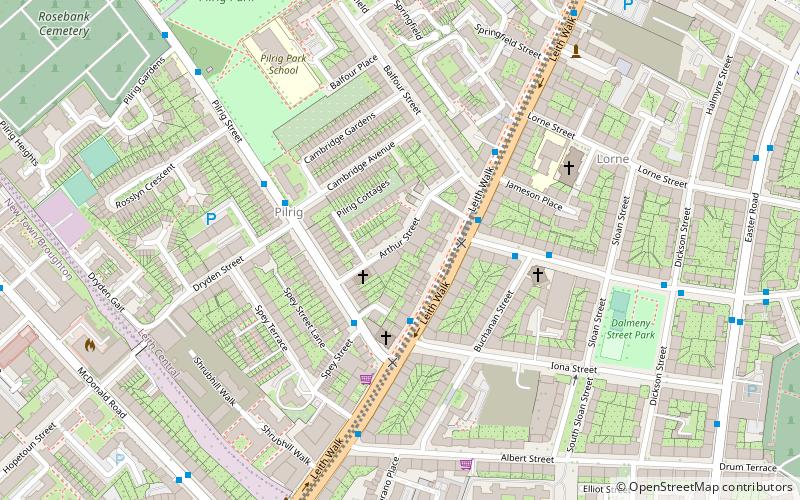
Henderson Street is a street in Leith, a district of the city of Edinburgh, Scotland. It forms a curving artery between Great Junction Street and an area known as the Shore, where the Water of Leith runs into the Port of Leith/Leith Docks. Henderson Street lies within the boundaries of the Leith Conservation Area and includes several listed buildings. ()
Length: 1312 ftCoordinates: 55°58'23"N, 3°10'23"W
Address
LeithEdinburgh
ContactAdd
Social media
Add
Day trips
Henderson Street – popular in the area (distance from the attraction)
Nearby attractions include: Ocean Terminal, Easter Road Stadium, HMY Britannia, South Leith Parish Church.
Frequently Asked Questions (FAQ)
Which popular attractions are close to Henderson Street?
Nearby attractions include Trinity House, Edinburgh (3 min walk), Kirkgate, Edinburgh (3 min walk), South Leith Parish Church, Edinburgh (4 min walk), Edinburgh/Leith, Edinburgh (4 min walk).
How to get to Henderson Street by public transport?
The nearest stations to Henderson Street:
Bus
Bus
- Junction Place • Lines: 21 (3 min walk)
- Cables Wynd • Lines: 10, 21 (3 min walk)


