Herefordshire and Gloucestershire Canal
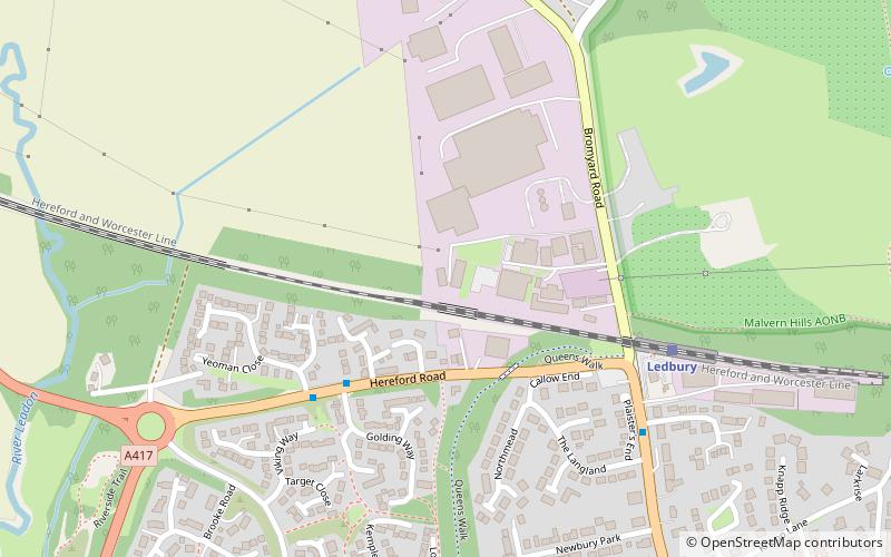
Map

Gallery

Facts and practical information
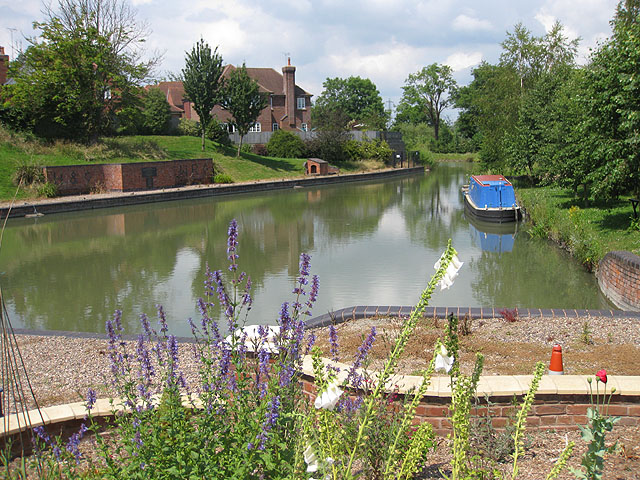
The Herefordshire and Gloucestershire Canal is a canal in the west of England, which ran from Hereford to Gloucester, where it linked to the River Severn. It was opened in two phases in 1798 and 1845, and closed in 1881, when the southern section was used for the course of the Ledbury and Gloucester Railway. It is the subject of an active restoration scheme. ()
Coordinates: 52°2'46"N, 2°25'48"W
Location
England
ContactAdd
Social media
Add
Day trips
Herefordshire and Gloucestershire Canal – popular in the area (distance from the attraction)
Nearby attractions include: British Camp, Malvern Hills, Eastnor Castle, Herefordshire Beacon.


