Penilee, Glasgow
Map
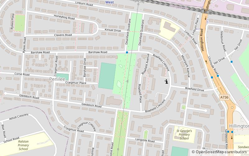
Map

Facts and practical information
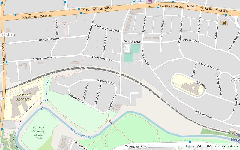
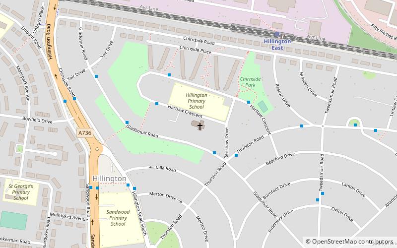
Penilee is a small housing scheme and suburb on the southwestern edge of Glasgow, Scotland. The area is bounded to its east by the Glasgow suburbs of Cardonald and Hillington, and to the west by the Renfrewshire border and the farms of North and South Arkleston. The district's southern boundary forms Glasgow's border with the Renfrewshire settlement of Ralston. The area is currently undergoing considerable residential redevelopment. ()
Elevation: 59 ft a.s.l.Coordinates: 55°51'9"N, 4°22'12"W
Address
10 Gleddoch RoadPenileeGlasgow
ContactAdd
Social media
Add
Day trips
Penilee – popular in the area (distance from the attraction)
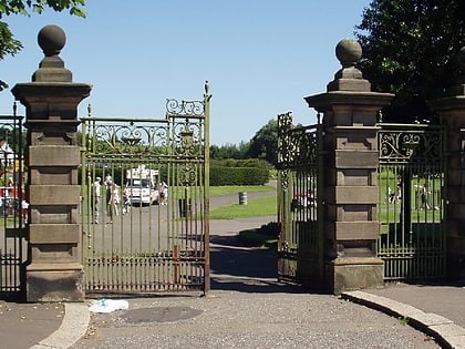
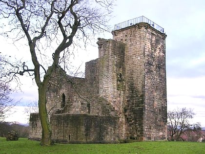
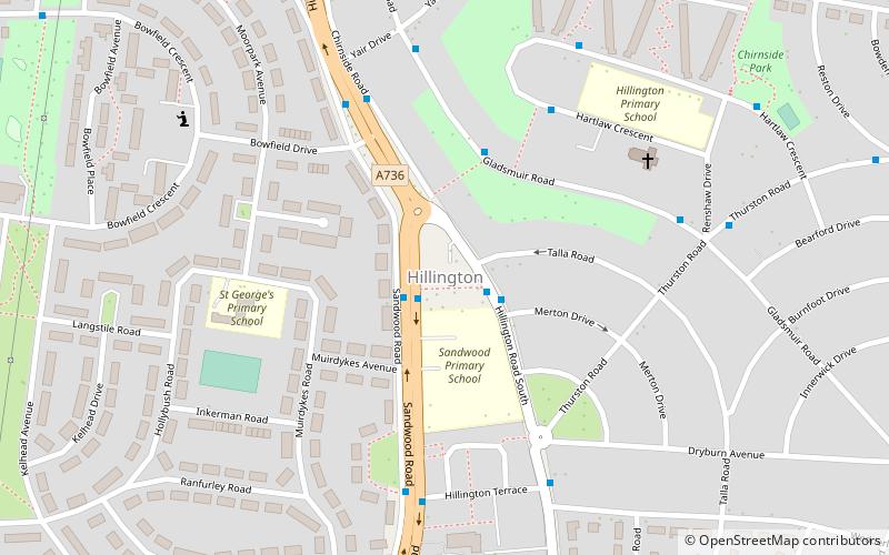
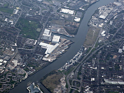
Nearby attractions include: Barshaw Park, Crookston Castle, Hillington, Shieldhall.
Frequently Asked Questions (FAQ)
Which popular attractions are close to Penilee?
Nearby attractions include Hillington, Glasgow (9 min walk), St Nicholas' Cardonald Church, Glasgow (12 min walk), Cardonald Parish Church, Glasgow (19 min walk), Cardonald, Glasgow (22 min walk).
How to get to Penilee by public transport?
The nearest stations to Penilee:
Train
Bus
Train
- Hillington West (6 min walk)
- Hillington East (16 min walk)
Bus
- Dalfoil Court • Lines: 38, 38A (13 min walk)
- Buchlyvie Road • Lines: 38, 38A (13 min walk)

