Cardonald Place Farm, Glasgow
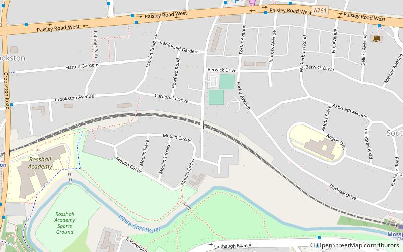
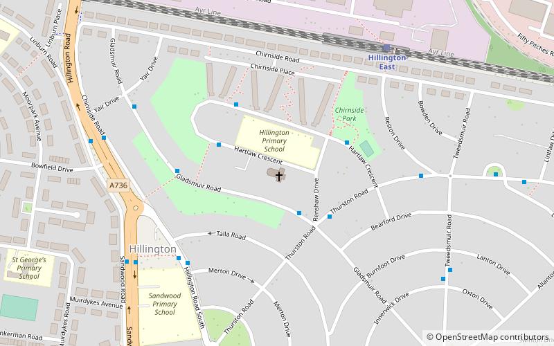
Map
Facts and practical information
Cardonald Place Farm is a farmhouse on the banks of the White Cart Water river in Cardonald, Glasgow, Scotland. It was built in 1848 on the site occupied by the former Cardonald Palace. ()
Coordinates: 55°50'35"N, 4°21'21"W
Getting there by public transportation
Public transportation stops near this location
- Bus
- Train
 Bus
Bus
- Calculate routeTweedsmuir Road / Paisley Road West 6 min walk
- Calculate routePaisley Road West / Forfar Avenue 6 min walk
- Calculate routePaisley Road West / Bankfoot Road 7 min walk
- Calculate routeCrookston Road / Crookston Avenue 9 min walk
- Calculate routeCrookston 9 min walk
- Calculate routeMosspark 10 min walk
- Calculate routeHillington East 20 min walk
- Calculate routeCardonald 24 min walk
Day trips


Frequently Asked Questions (FAQ)
Which popular attractions are close to Cardonald Place Farm?
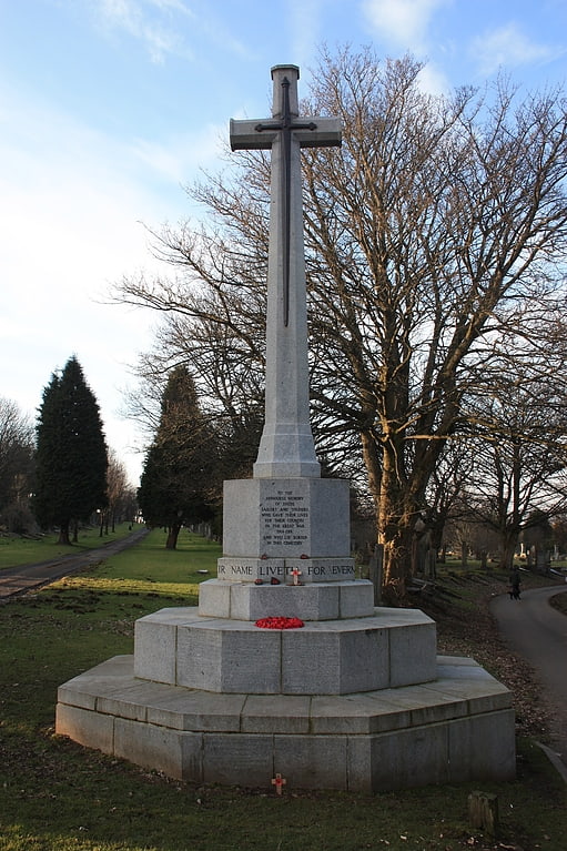
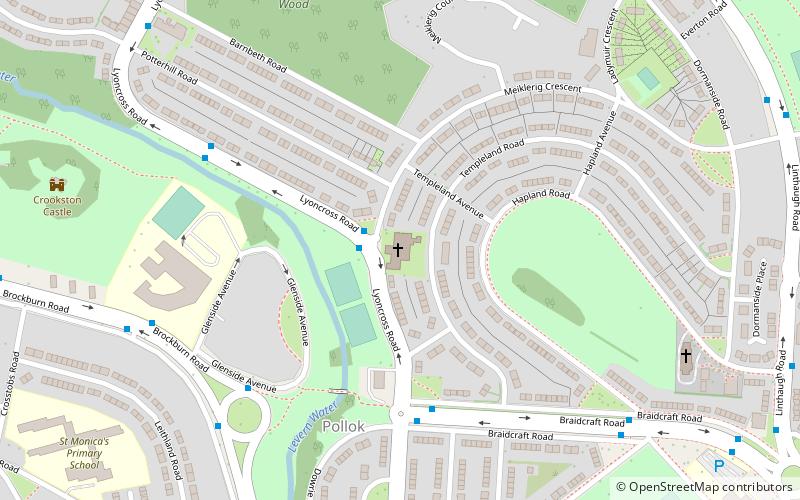
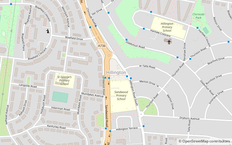
Nearby attractions include Cardonald Parish Church, Glasgow (5 min walk), Cardonald, Glasgow (11 min walk), Crookston Castle, Glasgow (15 min walk), Hillington, Glasgow (15 min walk).
How to get to Cardonald Place Farm by public transport?
The nearest stations to Cardonald Place Farm:
Bus
Train
Bus
- Tweedsmuir Road / Paisley Road West • Lines: 3 (6 min walk)
- Paisley Road West / Forfar Avenue • Lines: 38 (6 min walk)
Train
- Crookston (9 min walk)
- Mosspark (10 min walk)