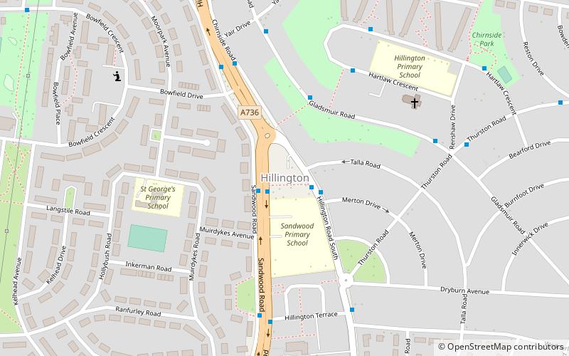
Hillington, Glasgow
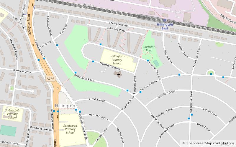
Map
Facts and practical information
Hillington is an area on the southwestern edge of the Scottish city of Glasgow comprising a residential neighbourhood and a large industrial suburb. While the residential area is wholly within Glasgow, the greater part of the industrial estate on the other side of the Inverclyde Line railway tracks falls under the jurisdiction of neighbouring Renfrew, although uses a Glasgow postcode. ()
Elevation: 56 ft a.s.l.Coordinates: 55°51'3"N, 4°21'44"W
Address
North CardonaldGlasgow
ContactAdd
Social media
Add
Getting there by public transportation
Public transportation stops near this location
- Bus
- Train
 Bus
Bus
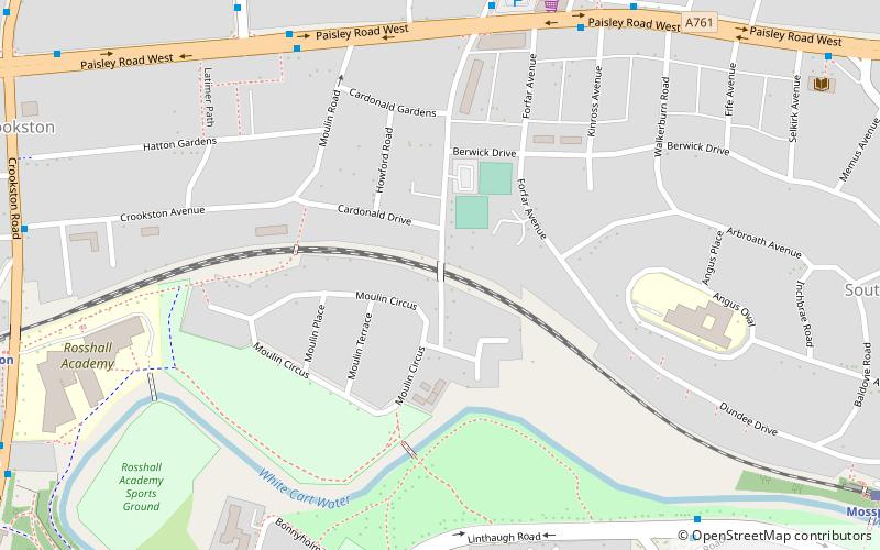
- Calculate routeCardonald, Tweedsmuir Road/ Innerwick Drive 10 min walk
- Calculate routePaisley Road West / Sandwood Road 10 min walk
- Calculate routeHillington East 10 min walk
- Calculate routeHillington West 13 min walk
- Calculate routeCrookston 16 min walk
- Calculate routeCardonald 22 min walk
Day trips


Frequently Asked Questions (FAQ)
Which popular attractions are close to Hillington?
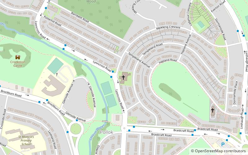
Nearby attractions include St Nicholas' Cardonald Church, Glasgow (5 min walk), Penilee, Glasgow (9 min walk), Cardonald Parish Church, Glasgow (12 min walk), Cardonald, Glasgow (13 min walk).
How to get to Hillington by public transport?
The nearest stations to Hillington:
Bus
Train
Bus
- Cardonald, Tweedsmuir Road/ Innerwick Drive • Lines: 3 (10 min walk)
- Paisley Road West / Sandwood Road • Lines: 3 (10 min walk)
Train
- Hillington East (10 min walk)
- Hillington West (13 min walk)