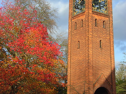
Fobney Lock, Reading
Map
Map

Facts and practical information
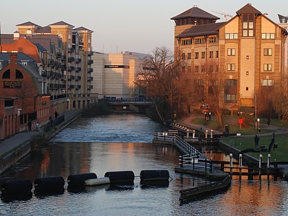
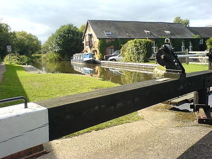
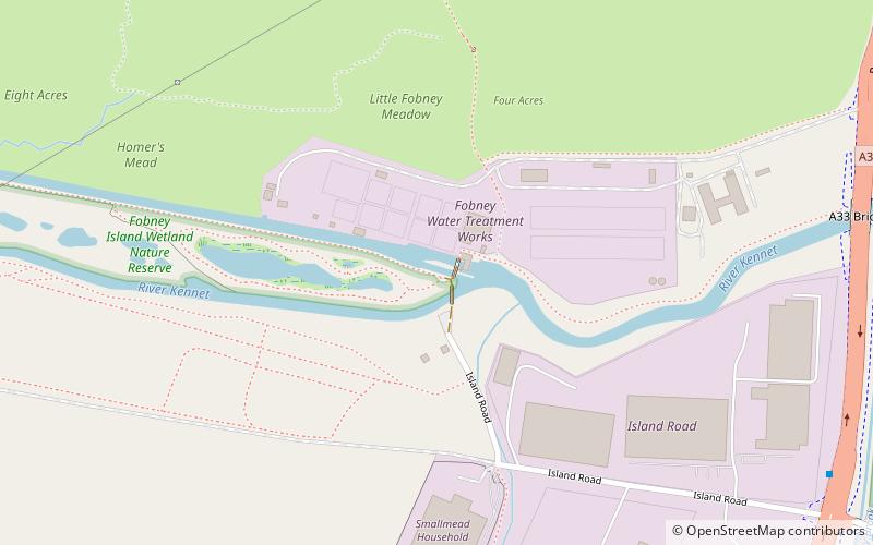
Fobney Lock is a lock on the River Kennet in the Small Mead area of Reading in the English county of Berkshire. Between the lock cut for the lock and the river itself is Fobney Island, which is a nature reserve. ()
Elevation: 121 ft a.s.l.Coordinates: 51°26'4"N, 0°59'11"W
Address
MinsterReading
ContactAdd
Social media
Add
Day trips
Fobney Lock – popular in the area (distance from the attraction)
Nearby attractions include: Madejski Stadium, County Lock, Bridge Street, Southcote Lock.
Frequently Asked Questions (FAQ)
Which popular attractions are close to Fobney Lock?
Nearby attractions include Courage Park, Reading (20 min walk), Southcote Lock, Reading (21 min walk), Madejski Stadium, Reading (22 min walk).
How to get to Fobney Lock by public transport?
The nearest stations to Fobney Lock:
Bus
Bus
- Buckland Road Junction • Lines: 6 (21 min walk)
- Whitley Park School • Lines: 6 (21 min walk)


