Southcote Lock, Reading
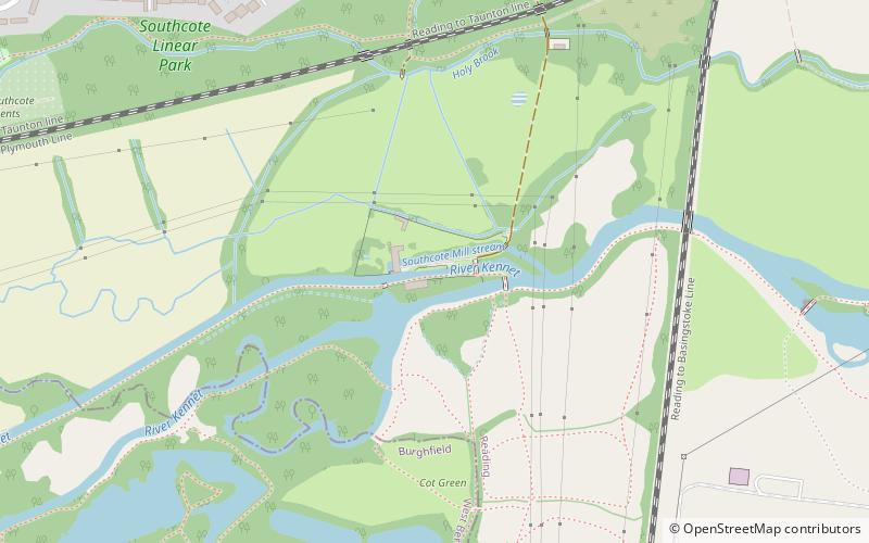
Map

Map

Facts and practical information
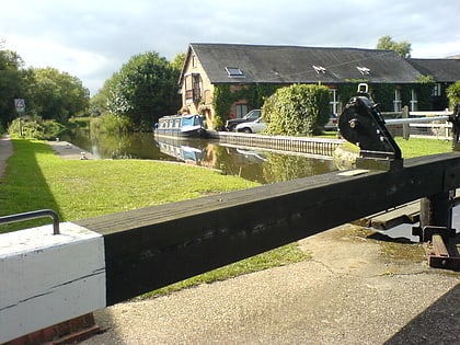
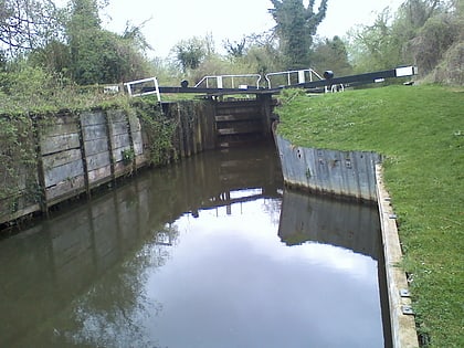
Southcote Lock is a lock on the River Kennet at Southcote near the town of Reading in Berkshire, England. It has a rise/fall of 5 feet 3 inches. ()
Coordinates: 51°26'10"N, 1°0'16"W
Day trips
Southcote Lock – popular in the area (distance from the attraction)
Nearby attractions include: Madejski Stadium, Prospect Park, Fobney Lock, Burghfield Lock.
Frequently Asked Questions (FAQ)
Which popular attractions are close to Southcote Lock?
Nearby attractions include Courage Park, Reading (19 min walk), Fobney Lock, Reading (21 min walk), Burghfield Bridge, Reading (24 min walk).
How to get to Southcote Lock by public transport?
The nearest stations to Southcote Lock:
Bus
Train
Bus
- Circuit Lane • Lines: 1 (18 min walk)
- Dwyer Road • Lines: 2/2a (19 min walk)
Train
- Amnerfield Miniature Railway (36 min walk)


