County Lock, Reading
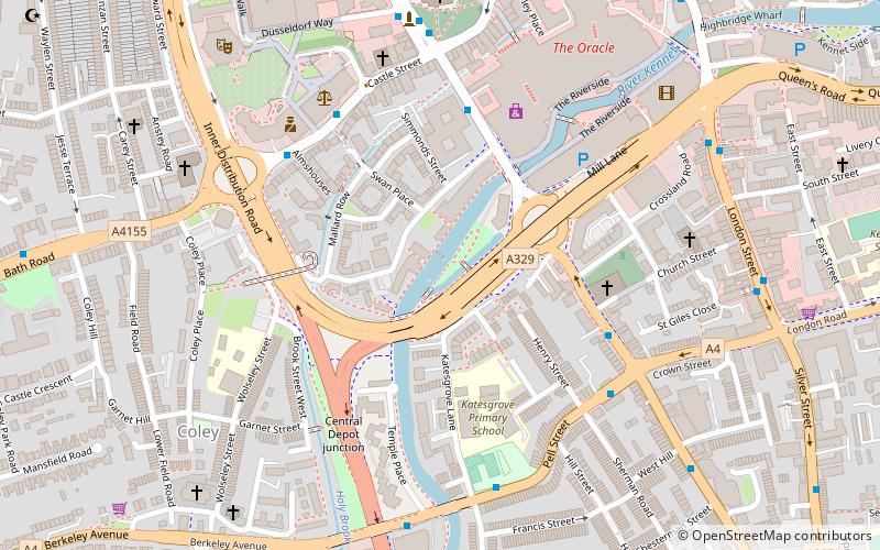
Map
Gallery
Facts and practical information
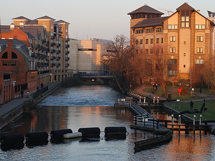
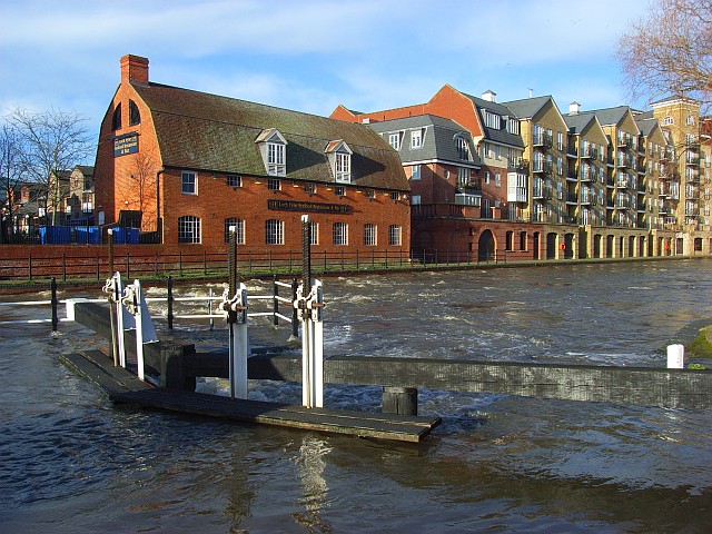
County Lock is a lock on the River Kennet in Reading town centre in the English county of Berkshire. It is now administered by the Canal & River Trust as part of the Kennet and Avon Canal. Downstream from the lock is Brewery Gut, a particularly fast flowing, narrow and dangerous stretch of the river. ()
Coordinates: 51°27'4"N, 0°58'25"W
Address
AbbeyReading
ContactAdd
Social media
Add
Day trips
County Lock – popular in the area (distance from the attraction)
Nearby attractions include: Broad Street, Queen Victoria Street, The Oracle, Union Street.
Frequently Asked Questions (FAQ)
Which popular attractions are close to County Lock?
Nearby attractions include Simonds Brewery, Reading (2 min walk), Bridge Street, Reading (3 min walk), St Giles' Church, Reading (4 min walk), St Mary's Church, Reading (5 min walk).
How to get to County Lock by public transport?
The nearest stations to County Lock:
Bus
Train
Bus
- Bridge Street • Lines: 6, survey (4 min walk)
- Crown Street • Lines: 6 (4 min walk)
Train
- Reading (15 min walk)
- Reading West (20 min walk)
