Bridge Street, Reading
Map

Gallery

Facts and practical information
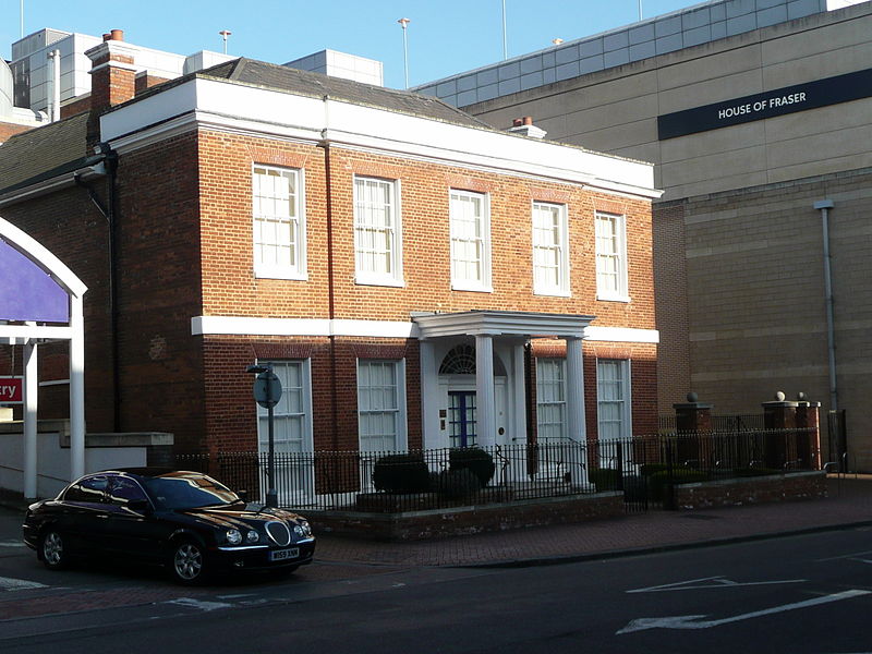
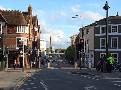
Bridge Street, formerly known as Seven Bridges, is a historic street in the town of Reading in the English county of Berkshire. It took its original name from the seven bridges that carried it over various channels of the River Kennet, and was the earliest crossing place of that river in the town. ()
Length: 780 ftCoordinates: 51°27'8"N, 0°58'20"W
Address
Bridge StreetAbbeyReading
ContactAdd
Social media
Add
Day trips
Bridge Street – popular in the area (distance from the attraction)
Nearby attractions include: Broad Street, Queen Victoria Street, The Oracle, Union Street.
Frequently Asked Questions (FAQ)
Which popular attractions are close to Bridge Street?
Nearby attractions include County Lock, Reading (3 min walk), St Giles' Church, Reading (4 min walk), Simonds Brewery, Reading (4 min walk), St Mary's Church, Reading (4 min walk).
How to get to Bridge Street by public transport?
The nearest stations to Bridge Street:
Bus
Train
Bus
- Bridge Street • Lines: 6, survey (2 min walk)
- St Mary's Butts CA • Lines: 1, 2/2a (4 min walk)
Train
- Reading (13 min walk)
- Reading West (21 min walk)


