Berwick town walls, Berwick-upon-Tweed
Map

Gallery

Facts and practical information
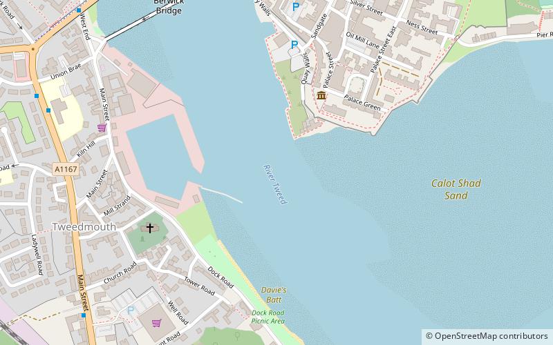
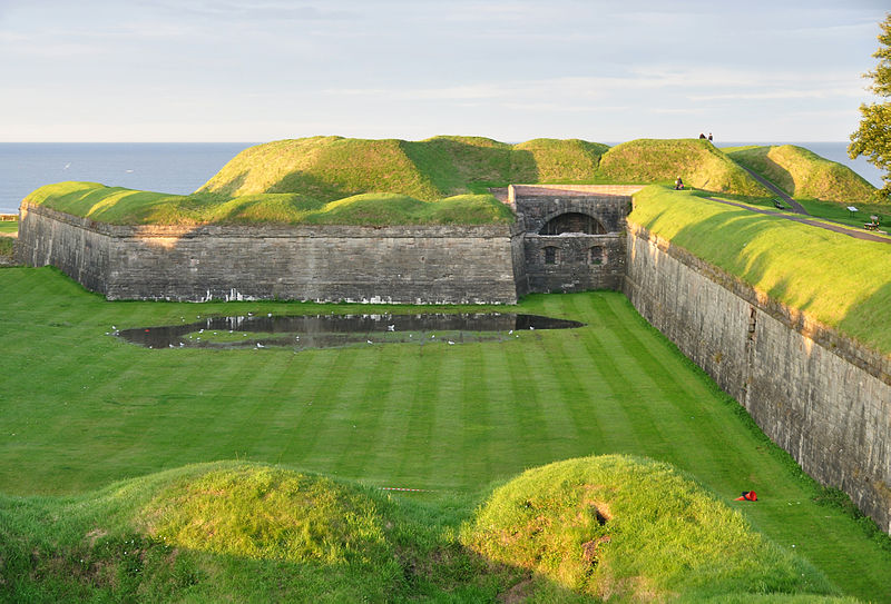
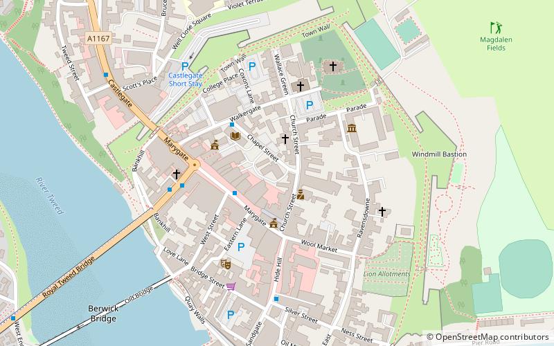
Berwick's town walls are a sequence of defensive structures built around the town of Berwick-upon-Tweed in England. ()
Coordinates: 55°45'54"N, 2°0'17"W
Address
Berwick-upon-Tweed
ContactAdd
Social media
Add
Day trips
Berwick town walls – popular in the area (distance from the attraction)
Nearby attractions include: Shielfield Park, Berwick Barracks, Church of the Holy Trinity, Berwick Castle.
Frequently Asked Questions (FAQ)
Which popular attractions are close to Berwick town walls?
Nearby attractions include Berwick Bridge, Berwick-upon-Tweed (7 min walk), The Maltings Theatre & Cinema, Berwick-upon-Tweed (7 min walk), Royal Tweed Bridge, Berwick-upon-Tweed (8 min walk), Dewars Lane, Berwick-upon-Tweed (8 min walk).
How to get to Berwick town walls by public transport?
The nearest stations to Berwick town walls:
Bus
Train
Bus
- Asda • Lines: 60, 67, Bus 67 (8 min walk)
- Union Brae • Lines: 60, 67, Bus 67 (8 min walk)
Train
- Berwick-upon-Tweed (18 min walk)


