Royal Tweed Bridge, Berwick-upon-Tweed
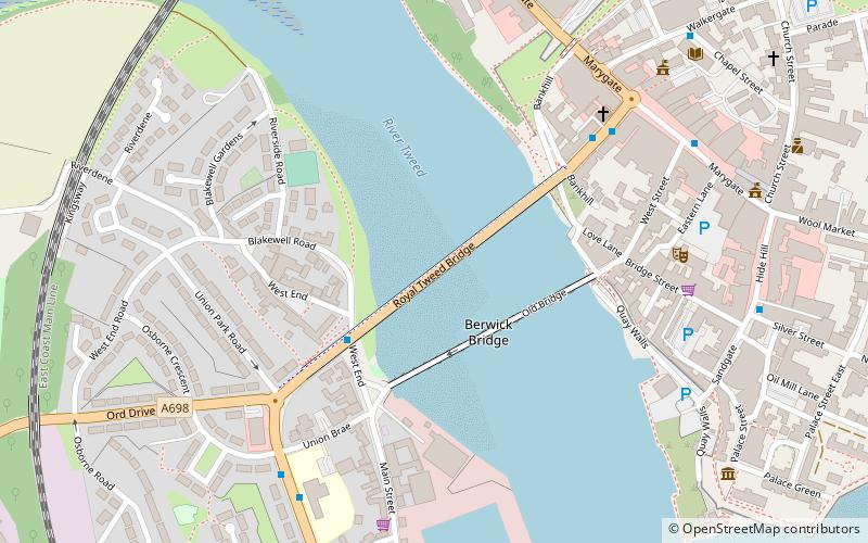
Map

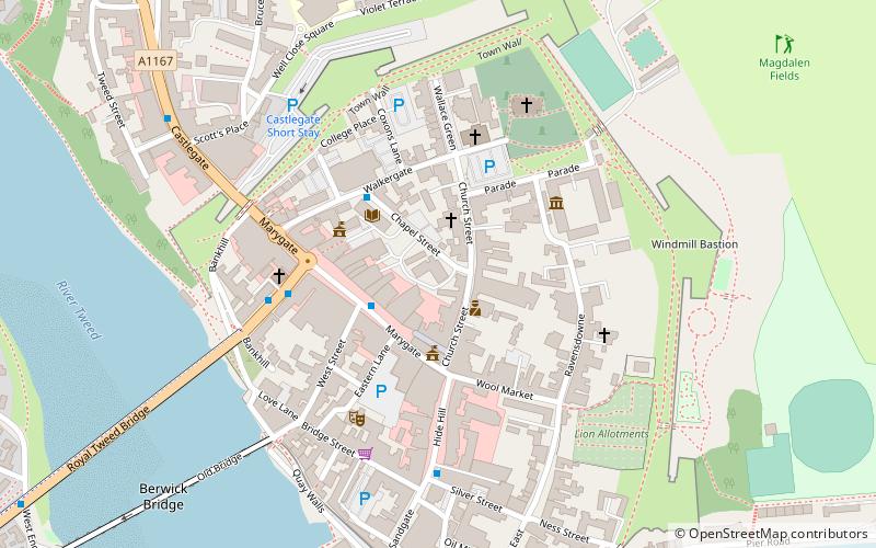
Map

Facts and practical information
The Royal Tweed Bridge is a road bridge in Berwick-upon-Tweed, Northumberland, England crossing the River Tweed. It was intended to divert traffic from the 17th century Berwick Bridge, and until the 1980s it formed part of the A1 road, the main route from London to Edinburgh. However, the construction of the A1 River Tweed Bridge to the west of Berwick has since reduced the Royal Tweed Bridge's importance. ()
Length: 1411 ftCoordinates: 55°46'7"N, 2°0'33"W
Day trips
Royal Tweed Bridge – popular in the area (distance from the attraction)
Nearby attractions include: Shielfield Park, Berwick Barracks, Berwick town walls, Church of the Holy Trinity.
Frequently Asked Questions (FAQ)
Which popular attractions are close to Royal Tweed Bridge?
Nearby attractions include Berwick Bridge, Berwick-upon-Tweed (2 min walk), The Maltings Theatre & Cinema, Berwick-upon-Tweed (5 min walk), Berwick Town Hall, Berwick-upon-Tweed (7 min walk), Shaws Lane Chapel, Berwick-upon-Tweed (8 min walk).
How to get to Royal Tweed Bridge by public transport?
The nearest stations to Royal Tweed Bridge:
Bus
Train
Bus
- Golden Square • Lines: 60, 67, Bus 67 (5 min walk)
- Union Brae • Lines: 60, 67, Bus 67 (6 min walk)
Train
- Berwick-upon-Tweed (11 min walk)


