Shaws Lane Chapel, Berwick-upon-Tweed
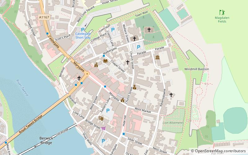
Map
Facts and practical information
Shaws Lane Relief Chapel in Berwick upon Tweed was founded in 1756 by a Presbyterian group seceding from the Low Meeting House in Hide Hill. The Congregation were of the Church of Scotland but preferred to choose their own Minister and so they pooled what money they had or could raise in order to fund its construction. The Relief Capel is situated between the High Street and Shaws Lane near the eastern extremity of Shaws Lane. ()
Coordinates: 55°46'13"N, 2°0'10"W
Address
Berwick-upon-Tweed
ContactAdd
Social media
Add
Getting there by public transportation
Public transportation stops near this location
- Bus
- Train
 Bus
Bus
- Calculate routeGolden Square 4 min walk
- Calculate routeBerwick, Castlegate Red Lion 7 min walk
- Calculate routeBerwick, Castlegate 9 min walk
- Calculate routeBerwick-upon-Tweed 11 min walk
Day trips


Frequently Asked Questions (FAQ)
Which popular attractions are close to Shaws Lane Chapel?
Nearby attractions include Berwick Town Hall, Berwick-upon-Tweed (2 min walk), Dewars Lane, Berwick-upon-Tweed (3 min walk), Berwick Barracks, Berwick-upon-Tweed (4 min walk), The Maltings Theatre & Cinema, Berwick-upon-Tweed (4 min walk).
How to get to Shaws Lane Chapel by public transport?
The nearest stations to Shaws Lane Chapel:
Bus
Train
Bus
- Golden Square • Lines: 60, 67, Bus 67 (4 min walk)
- Berwick, Castlegate Red Lion • Lines: 67, Bus 67 (7 min walk)
Train
- Berwick-upon-Tweed (11 min walk)