Dewars Lane, Berwick-upon-Tweed
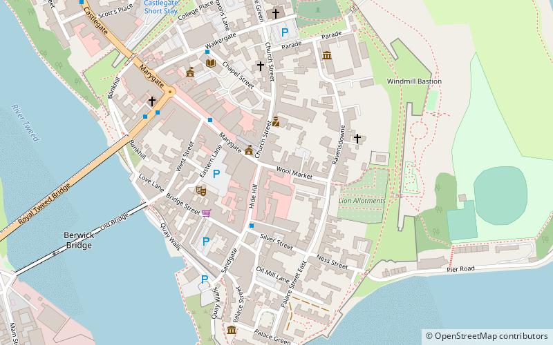
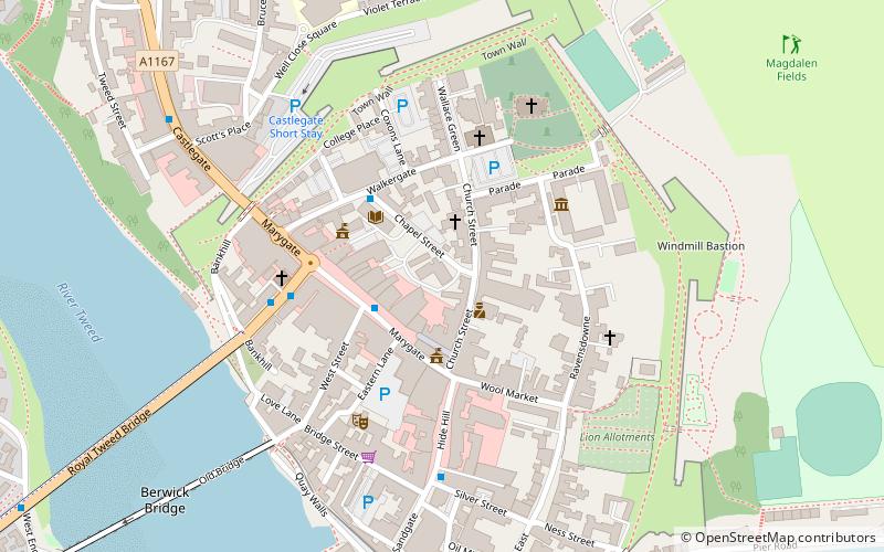
Map

Map

Facts and practical information
Dewar's Lane is an alley of medieval origin in the centre of Berwick-upon-Tweed. Over the centuries, heavy cart-wheels have cut deep grooves in its setts. ()
Coordinates: 55°46'8"N, 2°0'7"W
Address
Berwick-upon-Tweed
ContactAdd
Social media
Add
Day trips
Dewars Lane – popular in the area (distance from the attraction)
Nearby attractions include: Shielfield Park, Berwick Barracks, Berwick town walls, Church of the Holy Trinity.
Frequently Asked Questions (FAQ)
Which popular attractions are close to Dewars Lane?
Nearby attractions include Berwick Town Hall, Berwick-upon-Tweed (2 min walk), The Maltings Theatre & Cinema, Berwick-upon-Tweed (3 min walk), Shaws Lane Chapel, Berwick-upon-Tweed (3 min walk), Berwick Barracks, Berwick-upon-Tweed (5 min walk).
How to get to Dewars Lane by public transport?
The nearest stations to Dewars Lane:
Bus
Train
Bus
- Golden Square • Lines: 60, 67, Bus 67 (5 min walk)
- Berwick, Castlegate Red Lion • Lines: 67, Bus 67 (8 min walk)
Train
- Berwick-upon-Tweed (13 min walk)


