All Saints Church, Sheffield
Map

Map

Facts and practical information
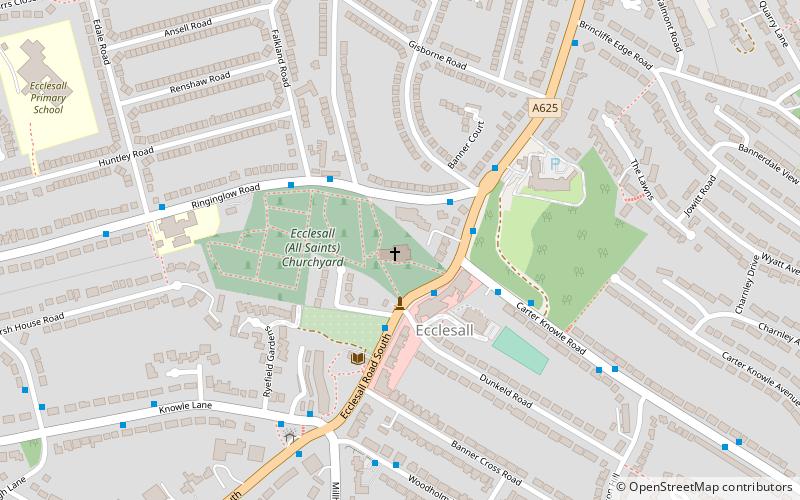
All Saints is a Church of England parish church in Sheffield, England. It is a Grade II listed building, and is located in Ecclesall, between Ringinglow Road and Ecclesall Road South. All Saints' emergent youth and young adults congregation is called "The Uncut Project". ()
Coordinates: 53°21'24"N, 1°30'43"W
Day trips
All Saints Church – popular in the area (distance from the attraction)
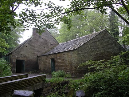
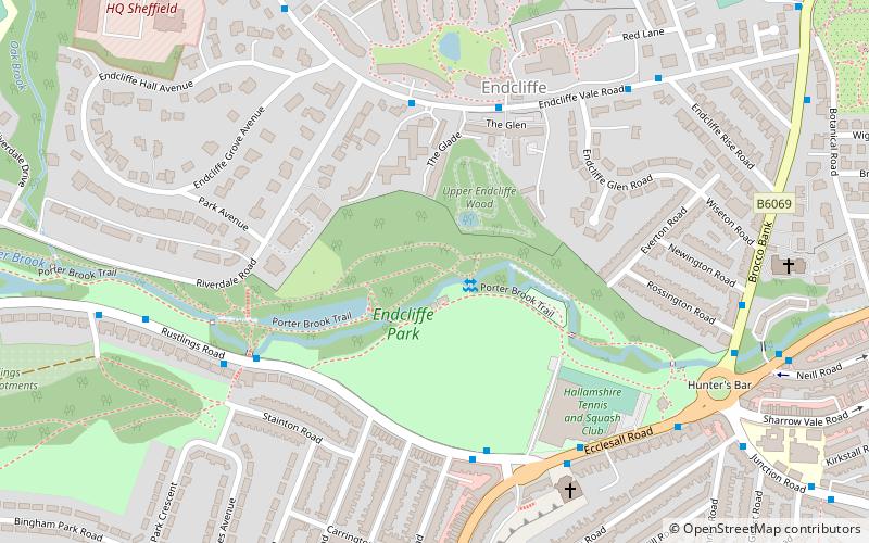
Nearby attractions include: Sheffield Botanical Gardens, Shepherd Wheel, Endcliffe Park, Sheffield General Cemetery.
Frequently Asked Questions (FAQ)
Which popular attractions are close to All Saints Church?
Nearby attractions include Banner Cross Methodist Church, Sheffield (7 min walk), Chelsea Park, Sheffield (12 min walk), Bingham Park, Sheffield (18 min walk), Shepherd Wheel, Sheffield (20 min walk).
How to get to All Saints Church by public transport?
The nearest stations to All Saints Church:
Bus
Bus
- Ecclesall Road South/Dunkeld Road • Lines: 181, 218, 271, 272, 65, 81, 82 (2 min walk)
- Ringinglow Road/Ecclesall Road South • Lines: 88 (2 min walk)


