Chelsea Park, Sheffield
Map

Map

Facts and practical information
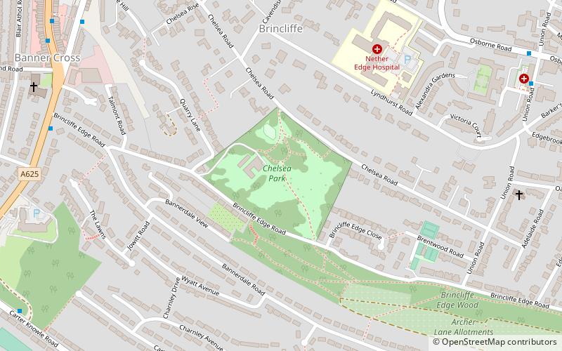
Chelsea Park is a small public park located in the south west of Sheffield in the suburb of Nether Edge. It is listed as one of the city's Historic Parks, and was originally laid out as the private gardens to Brincliffe Towers in 1852. It was given to the people of Sheffield in 1925 by a former Lord Mayor and Alderman Dr Robert Styring. ()
Created: 1935Elevation: 538 ft a.s.l.Coordinates: 53°21'31"N, 1°30'4"W
Address
Brincliffe Edge RoadNether EdgeSheffield S11 9BZ
Contact
+44 114 221 1900
Social media
Day trips
Chelsea Park – popular in the area (distance from the attraction)
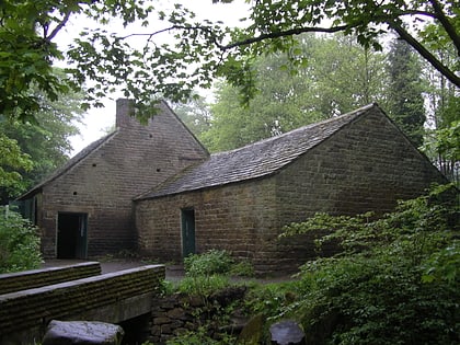
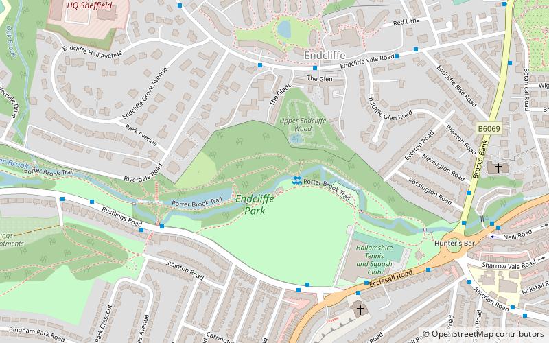
Nearby attractions include: Sheffield Botanical Gardens, Shepherd Wheel, Endcliffe Park, Sheffield General Cemetery.
Frequently Asked Questions (FAQ)
Which popular attractions are close to Chelsea Park?
Nearby attractions include Banner Cross Methodist Church, Sheffield (9 min walk), All Saints Church, Sheffield (12 min walk), Hunter's Bar, Sheffield (16 min walk), Abbeydale Road, Sheffield (18 min walk).
How to get to Chelsea Park by public transport?
The nearest stations to Chelsea Park:
Bus
Bus
- Ecclesall Road South/Brincliffe Edge Road • Lines: 181, 218, 271, 272, 6, 81, 82, 88 (8 min walk)
- Psalter Lane/Ecclesall Road • Lines: 218 (8 min walk)


