Godinton House, Ashford

Gallery (1)
Map
Map
Facts and practical information
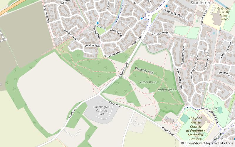
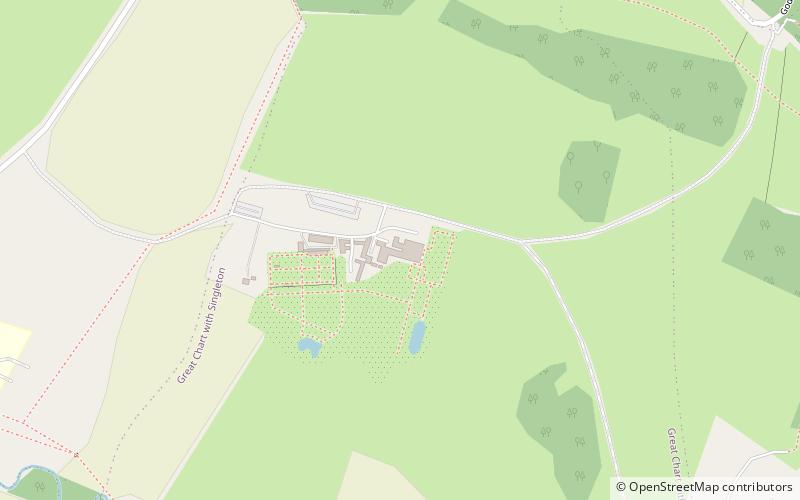
Godinton House is a stately home in the parish of Great Chart, owned by a non-profit-making trust. It is 2 miles north-west of the centreof the town of Ashford, Kent, UK. ()
Elevation: 187 ft a.s.l.Coordinates: 51°9'35"N, 0°49'58"E
Address
Godinton House Godinton Park Godinton LaneAshford TN23 3BP
Contact
+44 1233 643854
Social media
Add
Day trips