King's Meadow, Reading
Map
Map

Facts and practical information
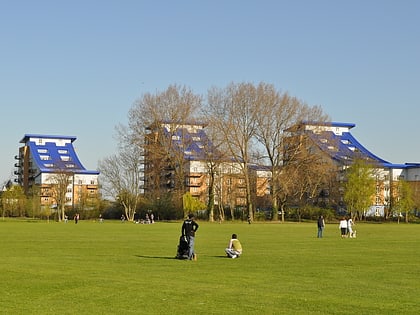
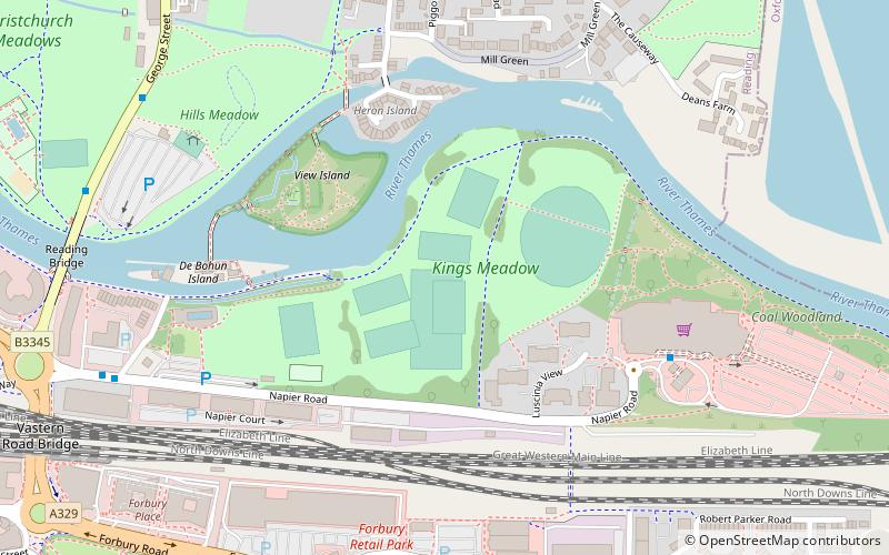
King's Meadow is a park in Reading, Berkshire, England, located next to the River Thames. It stretches from the Coal Woodland to King's Meadow Road near Reading Bridge. King's Meadow is visible from the railway when entering or leaving Reading railway station from the eastern side. It is currently managed by Reading Borough Council. ()
Elevation: 121 ft a.s.l.Coordinates: 51°27'39"N, 0°57'38"W
Address
AbbeyReading
ContactAdd
Social media
Add
Day trips
King's Meadow – popular in the area (distance from the attraction)
Nearby attractions include: Broad Street, Queen Victoria Street, The Oracle, Union Street.
Frequently Asked Questions (FAQ)
Which popular attractions are close to King's Meadow?
Nearby attractions include View Island, Reading (4 min walk), Heron Island, Reading (4 min walk), Reading Bridge, Reading (9 min walk), St James's Church, Reading (9 min walk).
How to get to King's Meadow by public transport?
The nearest stations to King's Meadow:
Bus
Train
Bus
- Forbury • Lines: 13, 14 (10 min walk)
- Huntley and Palmers • Lines: 13, 14, 17, 19a, 19b, 19c, 22, 3, 4, 702, 9, X4 (11 min walk)
Train
- Reading (14 min walk)
