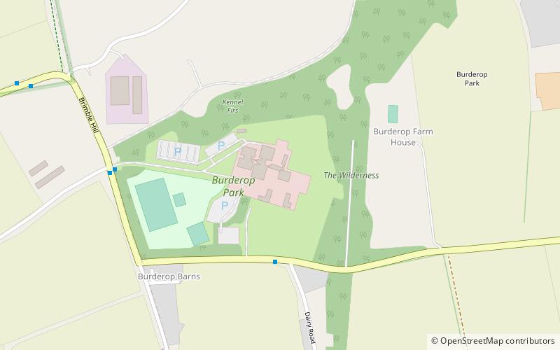
Burderop Park, Swindon

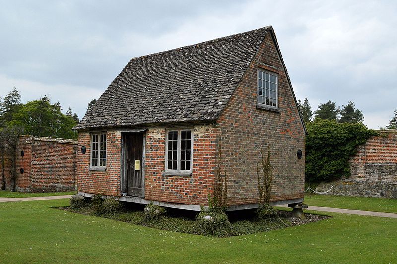
Gallery (3)
Map
Map
Gallery
Facts and practical information
Burderop Park is a Grade II* listed country manor house near Chiseldon, Wiltshire, England. The house was constructed in the early 17th century to a courtyard design, and was turned into a three-storey square house with bay windows during the 18th century. It is the manor house of the hamlet of Hodson, to the east. ()
Completed: XVIII centuryCoordinates: 51°31'12"N, 1°45'40"W
Address
Swindon
ContactAdd
Social media
Add
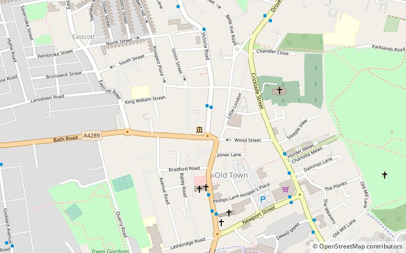
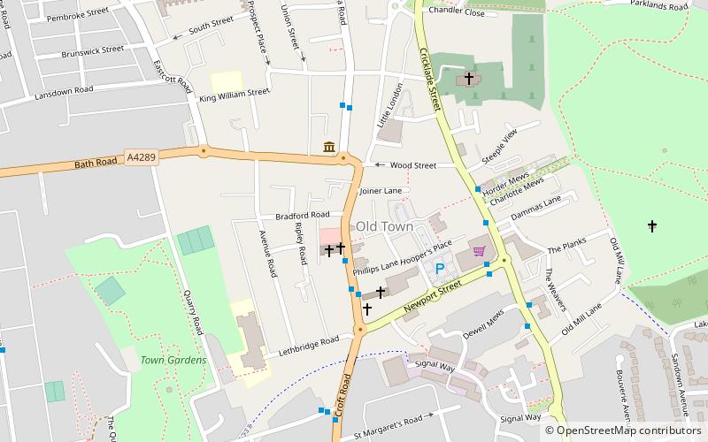
Getting there by public transportation
Public transportation stops near this location
- Bus
 Bus
Bus
- Calculate routeBurderop Park 6 min walk
- Calculate routeHodson Turn 13 min walk
Day trips


Frequently Asked Questions (FAQ)
How to get to Burderop Park by public transport?
The nearest stations to Burderop Park:
Bus
Bus
- Burderop Park • Lines: 71 (6 min walk)
- Hodson Turn • Lines: 71 (13 min walk)