Maiden Castle, Durham
Map
Map

Facts and practical information
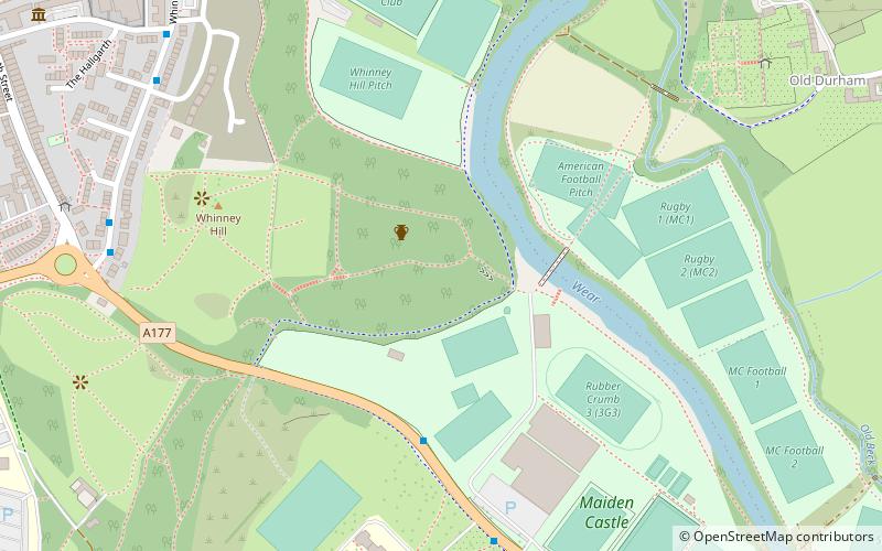
Maiden Castle is an Iron Age promontory fort in Durham, England. It is listed as a Scheduled Monument. ()
Coordinates: 54°46'8"N, 1°33'40"W
Address
Durham
ContactAdd
Social media
Add
Day trips
Maiden Castle – popular in the area (distance from the attraction)
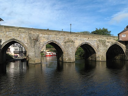
Nearby attractions include: Durham Cathedral, Durham Castle, Prebends Bridge, Elvet Bridge.
Frequently Asked Questions (FAQ)
Which popular attractions are close to Maiden Castle?
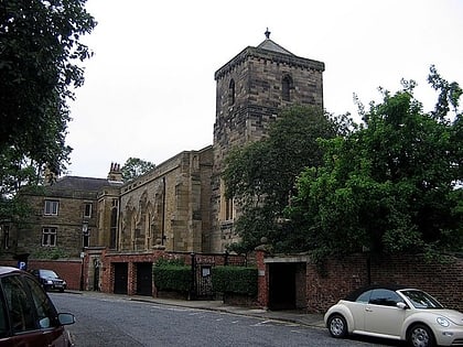
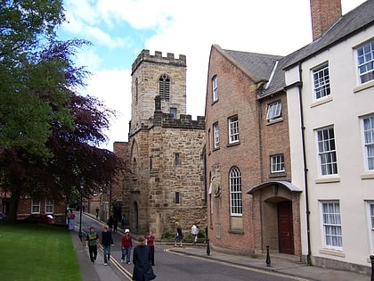
Nearby attractions include St Oswald's Church, Durham (13 min walk), Durham University Library, Durham (13 min walk), St Cuthbert's Church, Durham (14 min walk), Kingsgate Bridge, Durham (14 min walk).
How to get to Maiden Castle by public transport?
The nearest stations to Maiden Castle:
Bus
Train
Bus
- Mount Joy • Lines: 56, X12 (10 min walk)
- St. Oswalds Church • Lines: 56 (13 min walk)
Train
- Durham (29 min walk)


