Hambleton

Gallery (1)
Map
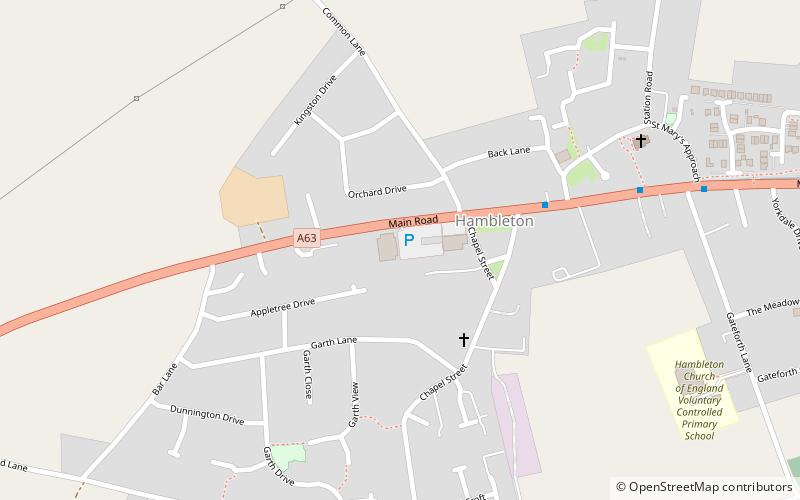
Map
Facts and practical information
Hambleton is a small village and civil parish near to Selby in North Yorkshire, England. It is a ward of the Selby District and should not be confused with the Hambleton District, another district of North Yorkshire. ()
Location
England
ContactAdd
Social media
Add
Day trips