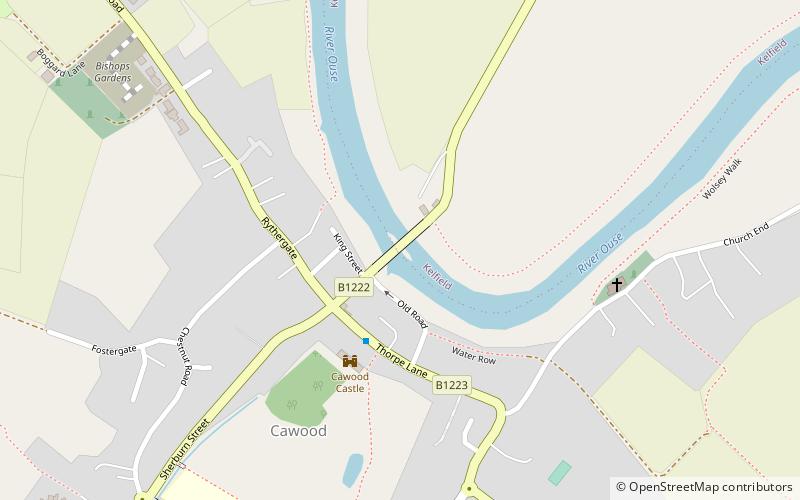
Cawood Bridge
Map

Map

Facts and practical information
Cawood Bridge is a swing bridge which spans the Yorkshire River Ouse in North Yorkshire, England. Construction was authorized in 1870, with the formation of the Cawood Bridge bridge company. It was opened on 31 July 1872 to replace the ferry, and is located about halfway between Naburn and Selby. It is the only bridge from the village of Cawood that crosses the river. It is Grade II listed. ()
Opened: 31 July 1872 (153 years ago)Coordinates: 53°50'1"N, 1°7'42"W
Location
England
ContactAdd
Social media
Add
Day trips
Cawood Bridge – popular in the area (distance from the attraction)
Nearby attractions include: Selby Abbey, Selby Town Hall, St Mary's Church, Tadcaster Bridge.


