Slieveanorra Forest
Map
Gallery
Facts and practical information
Slieveanorra Forest is situated in the rural north of County Antrim, Northern Ireland, near the villages of Corkey and Newtown Crommelin. It is a vast conifer forest and offers panoramic views. Altnahinch Dam is located on the edge of the forest and many tourists visit the area during the summer. Many types of animal and plant life reside in the area. It is named after Slieveanorra.The Battle of Aura took place on the surrounding mountain Slieve-na-Aura. ()
Elevation: 131 ft a.s.l.Coordinates: 55°2'33"N, 6°31'55"W
Location
Northern Ireland
ContactAdd
Social media
Add
Day trips
Slieveanorra Forest – popular in the area (distance from the attraction)
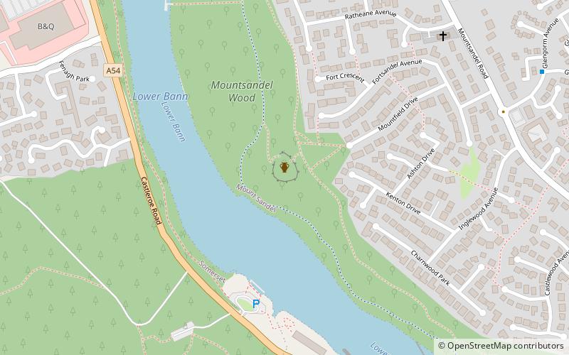
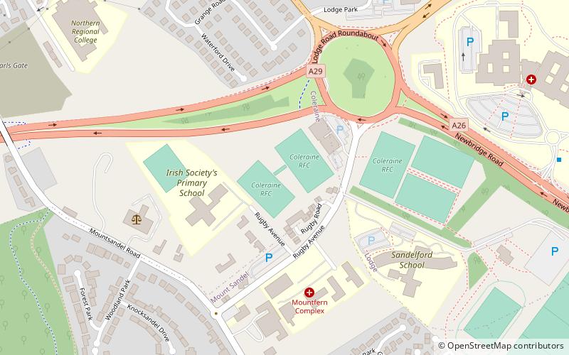
Nearby attractions include: Mount Sandel Fort, Craigs Dolmen, Mount Sandel Mesolithic site, Moneydig Presbyterian Church.

