Balls Wood, London
Map

Map

Facts and practical information
Balls Wood is a 58.5 hectare nature reserve managed by the Herts and Middlesex Wildlife Trust in Hertford Heath in East Hertfordshire. The wood was purchased by the Trust from the Forestry Commission. ()
Coordinates: 51°35'42"N, 0°6'32"W
Address
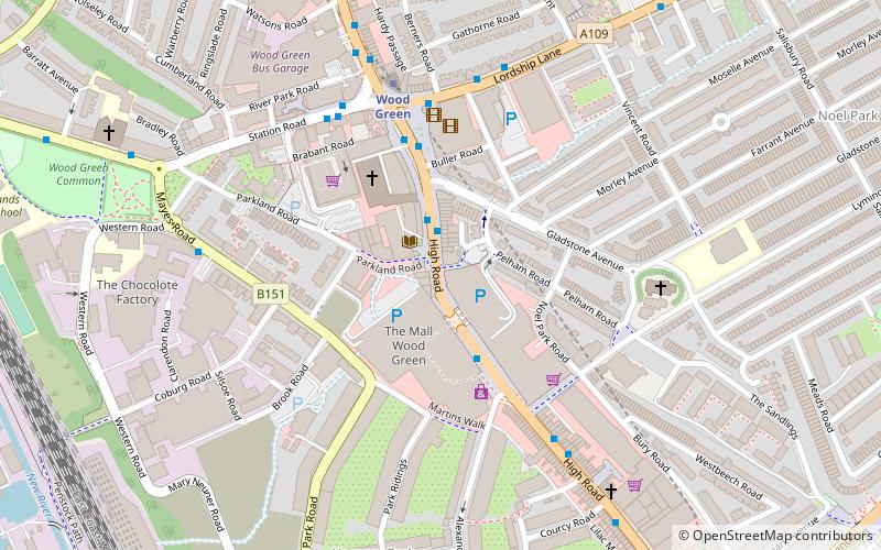
Haringey (Noel Park)London
ContactAdd
Social media
Add
Day trips
Balls Wood – popular in the area (distance from the attraction)
Nearby attractions include: Alexandra Palace, The Mall Wood Green, St Benet Fink Church, Tottenham Cemetery.
Frequently Asked Questions (FAQ)
Which popular attractions are close to Balls Wood?
Nearby attractions include Wood Green, London (9 min walk), Fishmongers Arms, London (11 min walk), London Borough of Haringey, London (13 min walk), Braemar Avenue Baptist Church, London (14 min walk).
How to get to Balls Wood by public transport?
The nearest stations to Balls Wood:
Bus
Metro
Train
Bus
- Wood Green Shopping City • Lines: 121, 141, 144, 184, 221, 232, 329, N29, N91, W4 (1 min walk)
- Lordship Lane • Lines: 123, 141, 230, 29, 67, N29, N91, W4 (3 min walk)
Metro
- Wood Green • Lines: Piccadilly (5 min walk)
- Turnpike Lane • Lines: Piccadilly (12 min walk)
Train
- Alexandra Palace (14 min walk)
- Hornsey (16 min walk)

 Tube
Tube


