Billesley Common, Birmingham
Map

Map

Facts and practical information
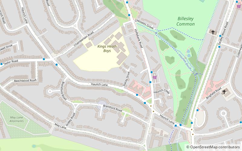
Billesley Common is a recreational area of public open space in South Birmingham, England. It is situated along the Yardley Wood Road, between the suburbs of Moseley and Yardley Wood. ()
Capacity: 5000Coordinates: 52°25'19"N, 1°52'48"W
Address
BillesleyBirmingham
ContactAdd
Social media
Add
Day trips
Billesley Common – popular in the area (distance from the attraction)
Nearby attractions include: Sarehole Mill, Highbury Park, Kings Heath Park, Swanshurst Park.
Frequently Asked Questions (FAQ)
Which popular attractions are close to Billesley Common?
Nearby attractions include Brandwood End Cemetery, Birmingham (21 min walk), Christ Church, Birmingham (22 min walk), Swanshurst Park, Birmingham (24 min walk).
How to get to Billesley Common by public transport?
The nearest stations to Billesley Common:
Bus
Train
Bus
- Alcester Rd South / Manningford Rd • Lines: 19 (26 min walk)
- Bells Lane / Druids Heath British Legion Club • Lines: 19 (41 min walk)
Train
- Yardley Wood (28 min walk)


