Morfa Conwy, Conwy
Map

Map

Facts and practical information
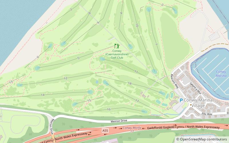
Morfa Conwy is a spit formed originally of marshy sand, north of the western end of the modern A55 entrance to Conwy in Conwy county borough, north-west Wales. A widely used corruption of the place name is Conwy Morfa, likely to have come about from the nearby Conway Marsh changing to Conway Morfa. The North Wales Coast Line railway once had a stop at 'Conway Morfa'. ()
Coordinates: 53°17'31"N, 3°50'53"W
Address
Conwy
ContactAdd
Social media
Add
Day trips
Morfa Conwy – popular in the area (distance from the attraction)
Nearby attractions include: Conwy Castle, Smallest House in Great Britain, Plas Mawr, Royal Cambrian Academy of Art.
Frequently Asked Questions (FAQ)
Which popular attractions are close to Morfa Conwy?
Nearby attractions include Castell Caer Seion, Snowdonia National Park (22 min walk), Mynydd y Dref, Snowdonia National Park (22 min walk), Conwy town walls, Conwy (23 min walk).
How to get to Morfa Conwy by public transport?
The nearest stations to Morfa Conwy:
Train
Train
- Deganwy (17 min walk)
- Conwy (28 min walk)


