Cyclopark, Gravesend

Map
Facts and practical information
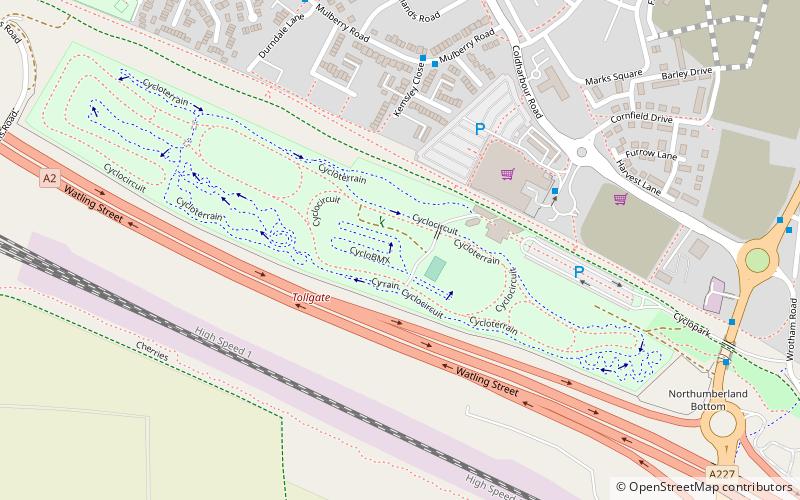
Cyclopark is a purpose-built facility for cycling and other outdoor activities, located on the south side of Gravesend, north Kent in south-east England, adjacent to the A2 dual carriageway. ()
Coordinates: 51°25'8"N, 0°21'7"E
Day trips
Cyclopark – popular in the area (distance from the attraction)
Nearby attractions include: Tilbury Fort, New Tavern Fort, Gravesend Town Hall, Milton Chantry.
Frequently Asked Questions (FAQ)
When is Cyclopark open?
Cyclopark is open:
- Monday 10 am - 9 pm
- Tuesday 10 am - 9 pm
- Wednesday 10 am - 9 pm
- Thursday 10 am - 9 pm
- Friday 10 am - 7 pm
- Saturday 9 am - 5 pm
- Sunday 9 am - 5 pm
How to get to Cyclopark by public transport?
The nearest stations to Cyclopark:
Bus
Bus
- Kemsley Close • Lines: 483 (5 min walk)
- Durndale Lane • Lines: 483 (7 min walk)


