Norton Canes
#7130 among destinations in the United Kingdom


Facts and practical information
Norton Canes is an industrial village, civil parish and ward of Cannock Chase District, in Staffordshire, England. ()
EnglandUnited Kingdom
Norton Canes – popular in the area (distance from the attraction)
Nearby attractions include: Hednesford Hills Raceway, Designer Outlet West Midlands, Castle Ring, Hednesford.
 Racetrack, Sport, Sport venue
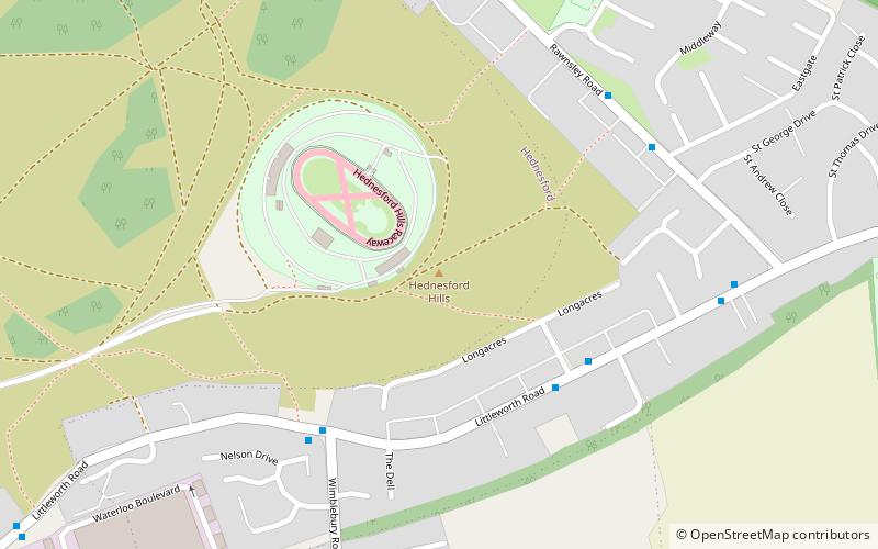
Hednesford Hills Raceway
72 min walk • Hednesford Hills Raceway stands as a testament to the thrill of motorsport in the United Kingdom, nestled in the heart of Staffordshire. This sport venue is a hub for speed enthusiasts and serves as a battleground for a variety of racing events that draw in crowds from...
 Shopping, Shopping centre
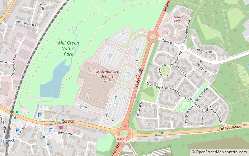
Designer Outlet West Midlands, Cannock
60 min walk • The Designer Outlet West Midlands is an outlet shopping centre near Cannock, Staffordshire, England. It is owned by McArhurGlen Group and is the company's 7th designer outlet in the UK. Permission was granted for the construction of the shopping centre in 2016 and work began in 2017.
 Forts and castles, View point
Castle Ring
90 min walk • Castle Ring is an Iron Age hill fort, situated high up on the southern edge of Cannock Chase, Staffordshire, England. It is the highest point on The Chase with an elevation of 242 metres.
 Area
AreaHednesford, Cannock
84 min walk • Hednesford is a historic market town in the Cannock Chase district of Staffordshire, England. Cannock Chase is to the north, the town of Cannock 1.2 miles to the south and Rugeley 4.6 miles to the southwest.The population at the 2011 census was 17,343.
 Church
St Mark's Church, Cannock
56 min walk • St Mark's is the parish church of Great Wyrley, South Staffordshire, England. It is known for having had the first South Asian vicar of any Church of England parish, Shapurji Edalji, and for its association with Edalji's son George, who was falsely convicted on a charge ...
 Archaeological site
Watling Street, Brownhills
51 min walk • Watling Street is a historic route in England that crosses the River Thames at London and which was used in Classical Antiquity, Late Antiquity, and throughout the Middle Ages.
 Nature, Natural attraction, Forest
Forest of Mercia
32 min walk • The Forest of Mercia lies within the northernmost boundary of the more ancient and well-known Forest of Arden which covered the area when it formed part of the Kingdom of Mercia, and is one of twelve community forests established close to major towns and cities across England.
 Canal
CanalCatshill Junction, Brownhills
65 min walk • Catshill Junction is a canal junction at the northern limit of the Daw End Branch Canal where it meets the Wyrley and Essington Canal main line, near Brownhills, in West Midlands, England.
 Village, Area
Great Wyrley, Cannock
50 min walk • Great Wyrley is a village and civil parish in Staffordshire, England. It is coterminous with the villages of Landywood and Cheslyn Hay in the South Staffordshire district. It lies 5.5 miles north of Walsall, West Midlands. It had a population of 11,060 at the 2011 census.
 Village, Church
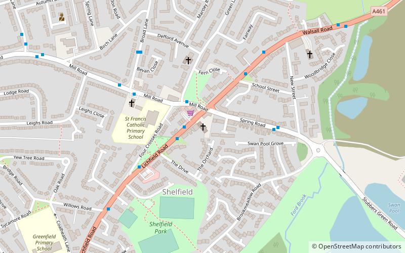
Shelfield, Walsall
91 min walk • Shelfield is a suburban village in the borough of Walsall in the West Midlands conurbation. It is conjoined by the nearby villages of Walsall Wood and Rushall. The name Shelfield derives from the Anglo Saxon Skelfeld for sloping ground or field.
 Canal
CanalPelsall Junction
52 min walk • Pelsall Junction is a canal junction at the southern limit of the Cannock Extension Canal where it meets the Wyrley and Essington Canal main line, near Pelsall, West Midlands, England.
