Fountains Fell, Yorkshire Dales National Park
Map

Map

Facts and practical information
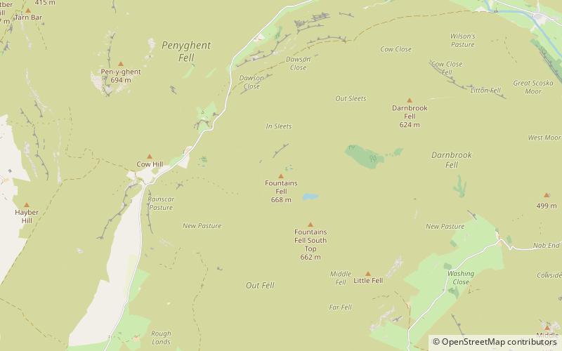
Fountains Fell is a mountain in the Yorkshire Dales, England. The main summit has a height of 668 metres and a relative height or topographic prominence of 243 metres and thus qualifies as a Marilyn. Its subsidiary, Fountains Fell South Top reaches 662 metres and qualifies as a Nuttall. A third summit, further south at SD868697, reaches 610 metres and is the most southerly 2,000 ft summit in the Pennines. ()
Elevation: 2192 ftProminence: 797 ftCoordinates: 54°8'24"N, 2°12'34"W
Address
Yorkshire Dales National Park
ContactAdd
Social media
Add
Day trips
Fountains Fell – popular in the area (distance from the attraction)
Nearby attractions include: Gordale Scar, Malham Cove, Pen-y-ghent, Settle Town Hall.


