Silverdale, Yorkshire Dales National Park
Map

Map

Facts and practical information
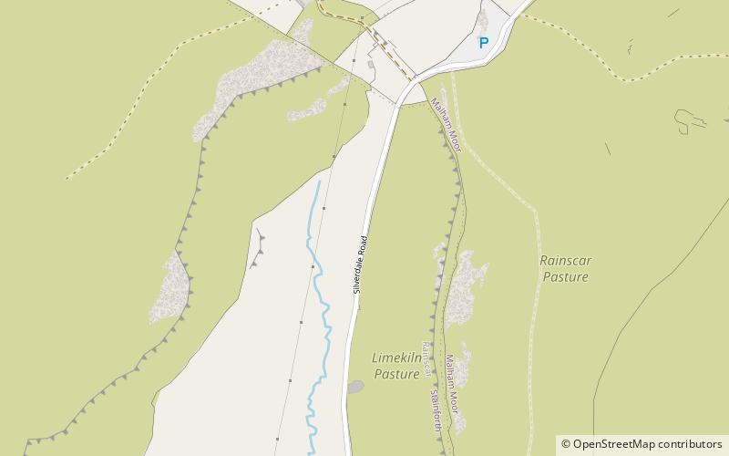
Silverdale is a minor dale in the Yorkshire Dales in North Yorkshire, England. It is a side dale of Ribblesdale, and lies west of Fountains Fell. The dale head is just south of Pen-y-ghent. The Pennine Way crosses the head of the dale. ()
Coordinates: 54°8'12"N, 2°14'37"W
Address
Yorkshire Dales National Park
ContactAdd
Social media
Add
Day trips
Silverdale – popular in the area (distance from the attraction)
Nearby attractions include: Church of St Alkelda, Pen-y-ghent, Settle Town Hall, Settle Area Swimming Pool.


