Kingsford Country Park

Gallery (1)
Map
Map
Facts and practical information
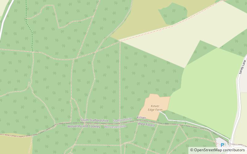
Kingsford Country Park, officially Kingsford Forest Park, was in Worcestershire, England, U.K. and managed by Worcestershire County Council. It adjoined Kinver Edge, Staffordshire, a National Trust property, to which it was connected by multiple paths. Part of the country park was formerly known as Blakeshall Common. ()
Elevation: 453 ft a.s.l.Coordinates: 52°26'23"N, 2°14'60"W
Location
England
ContactAdd
Social media
Add
Day trips