Northfield, Birmingham
Map

Map

Facts and practical information
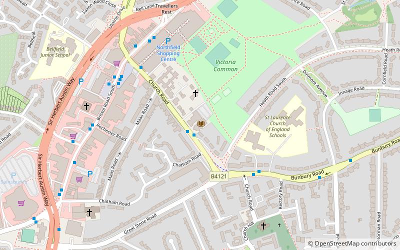
Northfield is a residential area in outer south Birmingham, England, and near the boundary with Worcestershire. It is also a council constituency, managed by its own district committee. The constituency includes the wards of Kings Norton, Longbridge, Weoley Castle and the smaller ward of Northfield that includes West Heath and Turves Green. ()
Coordinates: 52°24'33"N, 1°56'47"W
Address
Kings NortonBirmingham
ContactAdd
Social media
Add
Day trips
Northfield – popular in the area (distance from the attraction)
Nearby attractions include: St Nicolas Church, Golfbug - Wast Hills, St Laurence's Church, St John the Baptist's Church.
Frequently Asked Questions (FAQ)
Which popular attractions are close to Northfield?
Nearby attractions include Wychall Reservoir, Birmingham (3 min walk), St Nicolas Church, Birmingham (19 min walk), St Laurence's Church, Birmingham (20 min walk), St Agnes' Church, Birmingham (21 min walk).
How to get to Northfield by public transport?
The nearest stations to Northfield:
Bus
Train
Bus
- Wychall Rd / Wychall Farm School • Lines: 19 (5 min walk)
- Bunbury Rd / Woodland Rd • Lines: 19 (18 min walk)
Train
- Kings Norton (18 min walk)
- Northfield (21 min walk)


